Tonk night lights from space
Night Light of Tonk (Rajasthan) from space (India) Src. Average luminocity for 10x10km area is 41.619% and for 50x50km: 3.3585%.
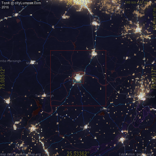
Analysis of Tonk night lights 2016
Square area 10x10 km:
 6.94%
6.94%90-99
16.27%80-89
2.98%70-79
0%60-69
3.97%50-59
4.76%40-49
2.78%30-39
4.96%20-29
6.75%10-19
44.05%0-9
6.55%Square area 50x50 km:
0.44%90-99
0.79%80-89
0.36%70-79
0.07%60-69
0.2%50-59
0.33%40-49
0.55%30-39
0.47%20-29
0.66%10-19
3.57%0-9
92.55%Clear (daylight) street map image can be seen on geolist.org.
Map coordinates:
26° 47' 44.6" North, 75° 5' 6.4" East
26° 9' 59" North, 75° 47' 17.7" East
25° 32' 1" North, 76° 29' 28.9" East
Some cities around Tonk sort by population:
• Sawāi Mādhopur
57.7 km =35.9 mi,  106°
106°
• Niwai
25.2 km =15.7 mi,  30°
30°
• Chaksu
51.3 km =31.9 mi,  18°
18°
• Mālpura
44.2 km =27.5 mi,  287°
287°
• Todaraisingh
34.5 km =21.4 mi,  242°
242°
• Deoli
61.1 km =38 mi,  221°
221°
• Nainwa
44.3 km =27.5 mi,  172°
172°
• Uniāra
57.2 km =35.5 mi,  268°
268°
1254241 (p: 151,331)
Sources (retrieved 2019-11-25):
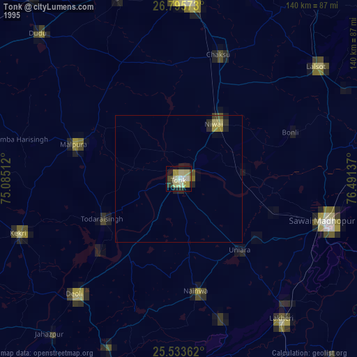
» NASA, Earths city lights 1995
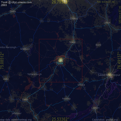
» NASA city lights 2003
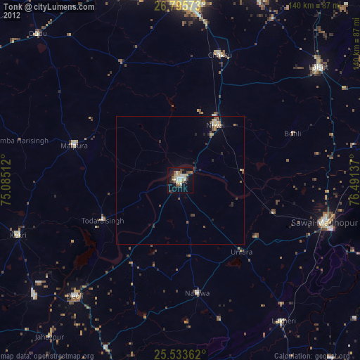
» Earth at Night: Flat Maps 2012, 2016