Deoli night lights from space
Night Light of Deoli (Rajasthan) from space (India) Src. Average luminocity for 10x10km area is 31.1799% and for 50x50km: 7.0643%.
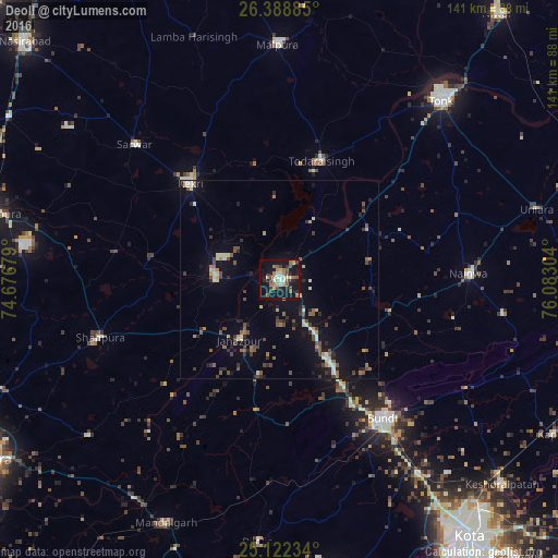
Analysis of Deoli night lights 2016
Square area 10x10 km:
 0.19%
0.19%90-99
5.87%80-89
4.17%70-79
4.55%60-69
6.82%50-59
4.36%40-49
6.25%30-39
3.41%20-29
5.87%10-19
39.39%0-9
19.13%Square area 50x50 km:
0.22%90-99
1.06%80-89
0.55%70-79
0.83%60-69
0.85%50-59
1.19%40-49
1.69%30-39
1.03%20-29
1.5%10-19
5.59%0-9
85.5%Clear (daylight) street map image can be seen on geolist.org.
Map coordinates:
26° 23' 19.9" North, 74° 40' 36.4" East
25° 45' 26.2" North, 75° 22' 47.7" East
25° 7' 20.4" North, 76° 4' 58.9" East
Some cities around Deoli sort by population:
• Būndi
43.8 km =27.2 mi,  143°
143°
• Kekri
33.1 km =20.6 mi,  315°
315°
• Shāhpura
48 km =29.8 mi,  251°
251°
• Todaraisingh
31.4 km =19.5 mi,  18°
18°
• Jahāzpur
18.5 km =11.5 mi,  214°
214°
• Sarwār
50.1 km =31.1 mi,  312°
312°
• Nainwa
47.1 km =29.3 mi,  88°
88°
• Uniāra
47 km =29.2 mi,  339°
339°
1273083 (p: 21,298)
Sources (retrieved 2019-11-25):
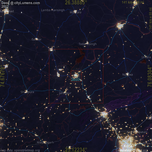
» Earth at Night: Flat Maps 2012, 2016