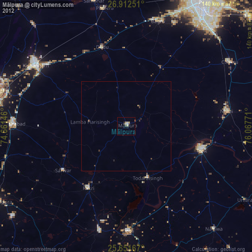
Mālpura night lights from space
Night Light of Mālpura (Rajasthan) from space (India) Src. Average luminocity for 10x10km area is 11% and for 50x50km: 0.5607%.
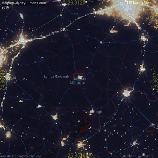
Analysis of Mālpura night lights 2016
Square area 10x10 km:
100  0.99%
0.99%
90-99 3.77%
80-89 2.38%
70-79 0%
60-69 0%
50-59 1.59%
40-49 0.79%
30-39 1.39%
20-29 0.99%
10-19 1.98%
0-9 86.11%
0.99%90-99
3.77%80-89
2.38%70-79
0%60-69
0%50-59
1.59%40-49
0.79%30-39
1.39%20-29
0.99%10-19
1.98%0-9
86.11%Square area 50x50 km:
100 0.04%
90-99 0.15%
80-89 0.11%
70-79 0.01%
60-69 0%
50-59 0.06%
40-49 0.1%
30-39 0.08%
20-29 0.09%
10-19 0.15%
0-9 99.22%
0.04%90-99
0.15%80-89
0.11%70-79
0.01%60-69
0%50-59
0.06%40-49
0.1%30-39
0.08%20-29
0.09%10-19
0.15%0-9
99.22%Clear (daylight) street map image can be seen on geolist.org.
Map coordinates:
26° 54' 45" North, 74° 39' 41.3" East
26° 17' 1.7" North, 75° 21' 52.5" East
25° 39' 6" North, 76° 4' 3.8" East
Some cities around Mālpura sort by population:
• Tonk
44.2 km =27.5 mi,  107°
107°
• Kekri
40.8 km =25.4 mi,  211°
211°
• Niwai
55.8 km =34.7 mi,  81°
81°
• Todaraisingh
31.2 km =19.4 mi,  157°
157°
• Deoli
58.6 km =36.4 mi,  178°
178°
• Sarwār
43 km =26.7 mi,  235°
235°
• Naraina
58.5 km =36.4 mi,  344°
344°
• Uniāra
20.8 km =12.9 mi,  225°
225°
1264032 (p: 28,600)
Sources (retrieved 2019-11-25):
» Earth at Night: Flat Maps 2012, 2016