Titlāgarh night lights from space
Night Light of Titlāgarh (Odisha) from space (India) Src. Average luminocity for 10x10km area is 31.2877% and for 50x50km: 4.8304%.
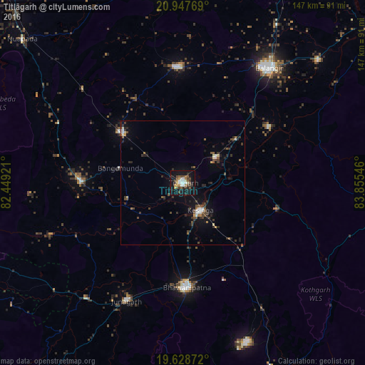
Analysis of Titlāgarh night lights 2016
Square area 10x10 km:
 5.56%
5.56%90-99
3.77%80-89
2.18%70-79
3.17%60-69
2.58%50-59
6.35%40-49
6.94%30-39
4.76%20-29
6.55%10-19
37.3%0-9
20.83%Square area 50x50 km:
0.53%90-99
0.46%80-89
0.32%70-79
0.28%60-69
0.41%50-59
0.83%40-49
1.15%30-39
1.22%20-29
1.68%10-19
3.55%0-9
89.57%Clear (daylight) street map image can be seen on geolist.org.
Map coordinates:
20° 56' 51.7" North, 82° 26' 57.2" East
20° 17' 22.6" North, 83° 9' 8.4" East
19° 37' 43.4" North, 83° 51' 19.7" East
Some cities around Titlāgarh sort by population:
• Balāngīr
58 km =36 mi,  37°
37°
• Bhawānipatna
42.6 km =26.5 mi,  177°
177°
• Kantābānji
31.2 km =19.4 mi,  309°
309°
• Patnāgarh
46.6 km =29 mi,  357°
357°
• Kesinga
13.3 km =8.3 mi,  148°
148°
• Jūnāgarh
52.9 km =32.9 mi,  205°
205°
• Kharhiāl
40.9 km =25.4 mi,  269°
269°
• Tarabha
73.4 km =45.6 mi,  47°
47°
1254304 (p: 28,405)
Sources (retrieved 2019-11-25):
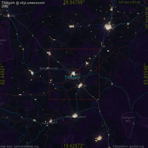
» Earth at Night: Flat Maps 2012, 2016