Kharhiāl night lights from space
Night Light of Kharhiāl (Odisha) from space (India) Src. Average luminocity for 10x10km area is 20.0099% and for 50x50km: 2.8253%.
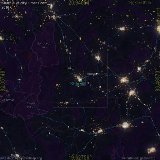
Analysis of Kharhiāl night lights 2016
Square area 10x10 km:
 1.59%
1.59%90-99
2.38%80-89
0%70-79
1.59%60-69
5.16%50-59
4.56%40-49
1.98%30-39
5.36%20-29
8.33%10-19
7.94%0-9
61.11%Square area 50x50 km:
0.18%90-99
0.23%80-89
0.13%70-79
0.27%60-69
0.31%50-59
0.51%40-49
0.7%30-39
0.87%20-29
1.34%10-19
1.11%0-9
94.37%Clear (daylight) street map image can be seen on geolist.org.
Map coordinates:
20° 56' 47.5" North, 82° 3' 26.9" East
20° 17' 18.4" North, 82° 45' 38.2" East
19° 37' 39.2" North, 83° 27' 49.4" East
Some cities around Kharhiāl sort by population:
• Bhawānipatna
60 km =37.3 mi,  134°
134°
• Titlāgarh
40.9 km =25.4 mi,  89°
89°
• Kantābānji
25.9 km =16.1 mi,  39°
39°
• Patnāgarh
60.7 km =37.7 mi, 39°
• Kesinga
49.2 km =30.6 mi,  103°
103°
• Jūnāgarh
51 km =31.7 mi,  159°
159°
• Padampur
85.1 km =52.9 mi,  21°
21°
• Gariāband
82.2 km =51.1 mi,  297°
297°
1266924 (p: 14,007)
Sources (retrieved 2019-11-25):
» Earth at Night: Flat Maps 2012, 2016