Kantābānji night lights from space
Night Light of Kantābānji (Odisha) from space (India) Src. Average luminocity for 10x10km area is 16.8523% and for 50x50km: 3.5723%.
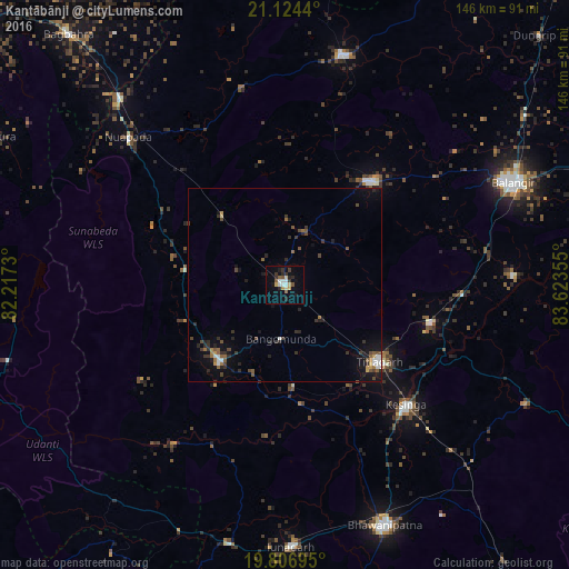
Analysis of Kantābānji night lights 2016
Square area 10x10 km:
 2.84%
2.84%90-99
1.7%80-89
2.27%70-79
2.27%60-69
0.38%50-59
2.46%40-49
0.95%30-39
3.22%20-29
5.68%10-19
5.87%0-9
72.35%Square area 50x50 km:
0.38%90-99
0.32%80-89
0.18%70-79
0.32%60-69
0.38%50-59
0.61%40-49
0.71%30-39
0.81%20-29
1.4%10-19
2.05%0-9
92.84%Clear (daylight) street map image can be seen on geolist.org.
Map coordinates:
21° 7' 27.8" North, 82° 13' 2.3" East
20° 28' 1.5" North, 82° 55' 13.5" East
19° 48' 25" North, 83° 37' 24.8" East
Some cities around Kantābānji sort by population:
• Balāngīr
64.9 km =40.3 mi,  66°
66°
• Bhawānipatna
67.4 km =41.9 mi,  157°
157°
• Titlāgarh
31.2 km =19.4 mi,  129°
129°
• Patnāgarh
34.7 km =21.6 mi,  39°
39°
• Kesinga
44 km =27.3 mi, 134°
• Jūnāgarh
67.5 km =41.9 mi,  178°
178°
• Padampur
61 km =37.9 mi,  14°
14°
• Kharhiāl
25.9 km =16.1 mi,  219°
219°
1267978 (p: 21,024)
Sources (retrieved 2019-11-25):
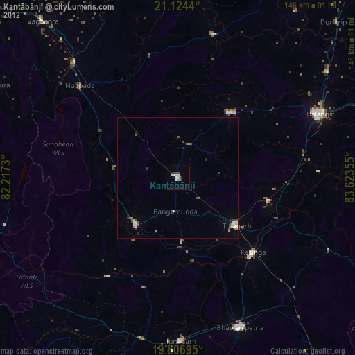
» Earth at Night: Flat Maps 2012, 2016