Bhawānipatna night lights from space
Night Light of Bhawānipatna (Odisha) from space (India) Src. Average luminocity for 10x10km area is 36.026% and for 50x50km: 3.3011%.
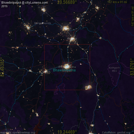
Analysis of Bhawānipatna night lights 2016
Square area 10x10 km:
 6.71%
6.71%90-99
7.36%80-89
3.46%70-79
3.25%60-69
4.98%50-59
3.25%40-49
6.28%30-39
5.19%20-29
6.06%10-19
36.36%0-9
17.1%Square area 50x50 km:
0.46%90-99
0.52%80-89
0.26%70-79
0.25%60-69
0.35%50-59
0.35%40-49
0.69%30-39
0.56%20-29
0.76%10-19
2.42%0-9
93.38%Clear (daylight) street map image can be seen on geolist.org.
Map coordinates:
20° 34' 0.8" North, 82° 27' 49.9" East
19° 54' 25.8" North, 83° 10' 1.1" East
19° 14' 40.9" North, 83° 52' 12.4" East
Some cities around Bhawānipatna sort by population:
• Balāngīr
94.8 km =58.9 mi,  20°
20°
• Titlāgarh
42.6 km =26.5 mi,  357°
357°
• Kantābānji
67.4 km =41.9 mi,  337°
337°
• Patnāgarh
89.2 km =55.4 mi, 357°
• Kesinga
31.7 km =19.7 mi,  9°
9°
• Jūnāgarh
24.9 km =15.5 mi,  257°
257°
• Kharhiāl
60 km =37.3 mi,  314°
314°
• Gudāri
89.5 km =55.6 mi,  134°
134°
1276023 (p: 64,468)
Sources (retrieved 2019-11-25):
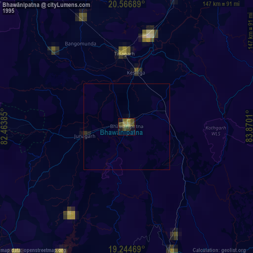
» NASA, Earths city lights 1995
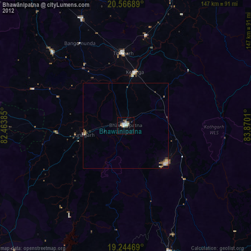
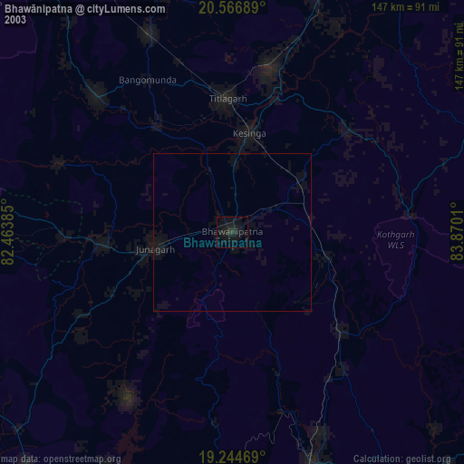
» NASA city lights 2003
» Earth at Night: Flat Maps 2012, 2016