Tarabha night lights from space
Night Light of Tarabha (Odisha) from space (India) Src. Average luminocity for 10x10km area is 11.0341% and for 50x50km: 5.9101%.
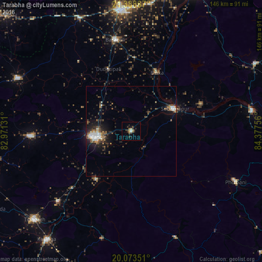
Analysis of Tarabha night lights 2016
Square area 10x10 km:
 0.95%
0.95%90-99
0.57%80-89
1.52%70-79
1.89%60-69
1.14%50-59
0.95%40-49
1.52%30-39
5.3%20-29
2.08%10-19
2.46%0-9
81.63%Square area 50x50 km:
0.76%90-99
0.82%80-89
0.21%70-79
0.57%60-69
0.45%50-59
1.1%40-49
1.02%30-39
1.52%20-29
2.32%10-19
3.93%0-9
87.29%Clear (daylight) street map image can be seen on geolist.org.
Map coordinates:
21° 23' 19.2" North, 82° 58' 16.7" East
20° 43' 57.1" North, 83° 40' 27.9" East
20° 4' 24.6" North, 84° 22' 39.2" East
Some cities around Tarabha sort by population:
• Balāngīr
19.4 km =12.1 mi,  260°
260°
• Bargarh
67.1 km =41.7 mi,  355°
355°
• Phulbāni
64.3 km =40 mi,  115°
115°
• Barpāli
51.7 km =32.1 mi,  349°
349°
• Patnāgarh
56.4 km =35 mi,  267°
267°
• Baud
68.8 km =42.8 mi,  80°
80°
• Sonepur
27.6 km =17.1 mi,  66°
66°
• Binka
35.6 km =22.1 mi,  23°
23°
1254925 (p: 8,155)
Sources (retrieved 2019-11-25):
» Earth at Night: Flat Maps 2012, 2016