Tirukkoyilur night lights from space
Night Light of Tirukkoyilur (Tamil Nadu) from space (India) Src. Average luminocity for 10x10km area is 13.6364% and for 50x50km: 4.9895%.
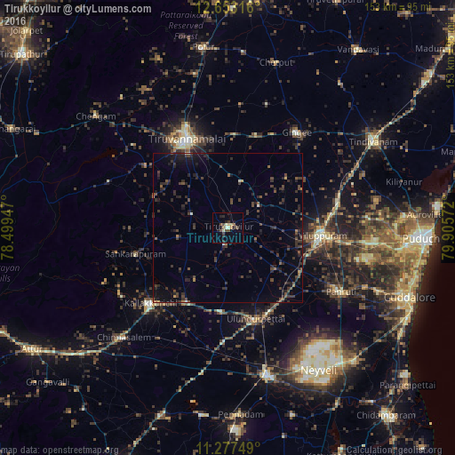
Analysis of Tirukkoyilur night lights 2016
Square area 10x10 km:
 0%
0%90-99
1.86%80-89
2.07%70-79
1.65%60-69
0.41%50-59
2.89%40-49
4.34%30-39
2.07%20-29
2.89%10-19
4.75%0-9
77.07%Square area 50x50 km:
0%90-99
0.24%80-89
0.12%70-79
0.28%60-69
0.31%50-59
0.84%40-49
1.69%30-39
2.03%20-29
2.78%10-19
3.62%0-9
88.09%Clear (daylight) street map image can be seen on geolist.org.
Map coordinates:
12° 39' 11.4" North, 78° 29' 58.1" East
11° 57' 58.3" North, 79° 12' 9.3" East
11° 16' 39" North, 79° 54' 20.6" East
Some cities around Tirukkoyilur sort by population:
• Tiruvannāmalai
32.1 km =19.9 mi,  334°
334°
• Villupuram
31.7 km =19.7 mi,  95°
95°
• Kallakkurichchi
36.5 km =22.7 mi,  226°
226°
• Vettavalam
16.4 km =10.2 mi,  16°
16°
• Vikravāndi
38.2 km =23.7 mi,  78°
78°
• Alagāpuram
32.2 km =20 mi,  254°
254°
• Pennāthur
31.3 km =19.4 mi,  4°
4°
• Manalūrpettai
12.9 km =8 mi,  291°
291°
1254377 (p: 28,337)
Sources (retrieved 2019-11-25):
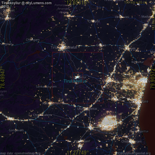
» Earth at Night: Flat Maps 2012, 2016