Tarn Tāran night lights from space
Night Light of Tarn Tāran (Punjab) from space (India) Src. Average luminocity for 10x10km area is 59.0245% and for 50x50km: 36.5583%.
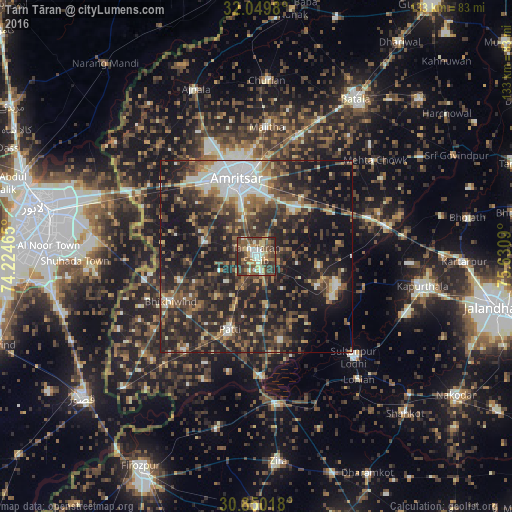
Analysis of Tarn Tāran night lights 2016
Square area 10x10 km:
 4.9%
4.9%90-99
11.89%80-89
8.74%70-79
8.57%60-69
8.92%50-59
13.46%40-49
19.06%30-39
15.56%20-29
8.92%10-19
0%0-9
0%Square area 50x50 km:
3.86%90-99
5.72%80-89
2.8%70-79
2.92%60-69
5.09%50-59
6.25%40-49
9.68%30-39
10.23%20-29
15.69%10-19
26.59%0-9
11.18%Clear (daylight) street map image can be seen on geolist.org.
Map coordinates:
32° 2' 59.3" North, 74° 13' 28.7" East
31° 27' 6.9" North, 74° 55' 40" East
30° 51' 0.6" North, 75° 37' 51.2" East
Some cities around Tarn Tāran sort by population:
• Amritsar
19.6 km =12.2 mi,  345°
345°
• Patti
20.1 km =12.5 mi,  199°
199°
• Sultanpur
36.7 km =22.8 mi,  135°
135°
• Majītha
34.1 km =21.2 mi,  4°
4°
• Rāja Sānsi
32.2 km =20 mi,  338°
338°
• Makhu
39.3 km =24.4 mi,  170°
170°
• Dhilwan
40.2 km =25 mi,  80°
80°
• Jandiāla Gurū
15.5 km =9.6 mi,  37°
37°
1254868 (p: 58,585)
Sources (retrieved 2019-11-25):
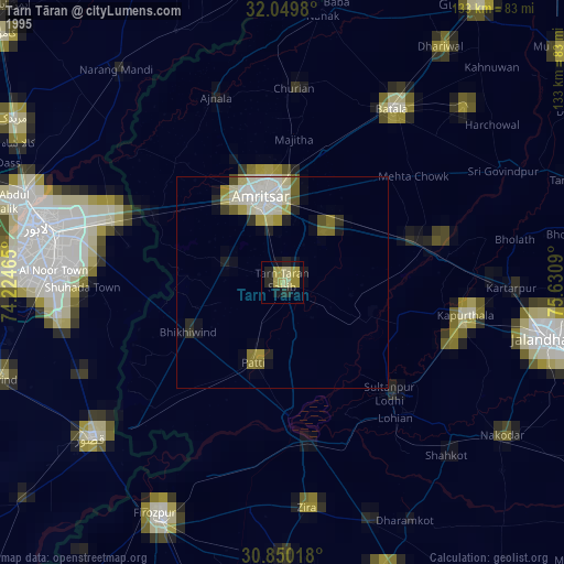
» NASA, Earths city lights 1995
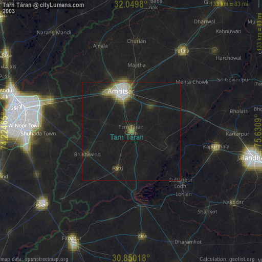
» NASA city lights 2003
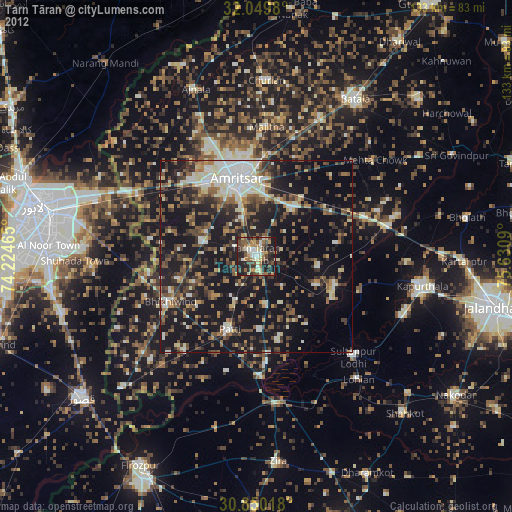
» Earth at Night: Flat Maps 2012, 2016