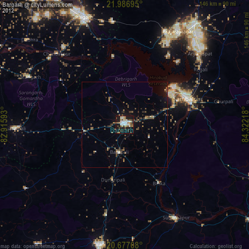
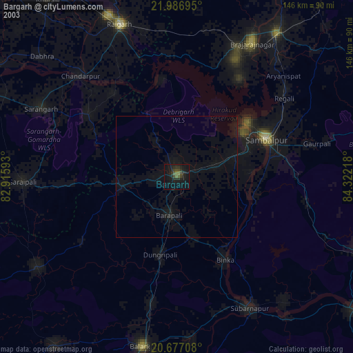
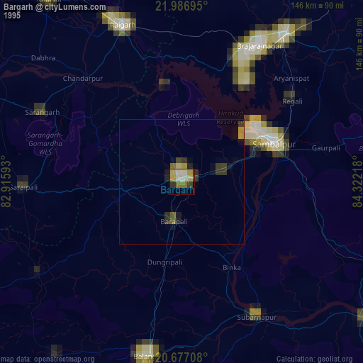
Bargarh night lights from space
Night Light of Bargarh (Odisha) from space (India) Src. Average luminocity for 10x10km area is 63.4205% and for 50x50km: 12.0431%.
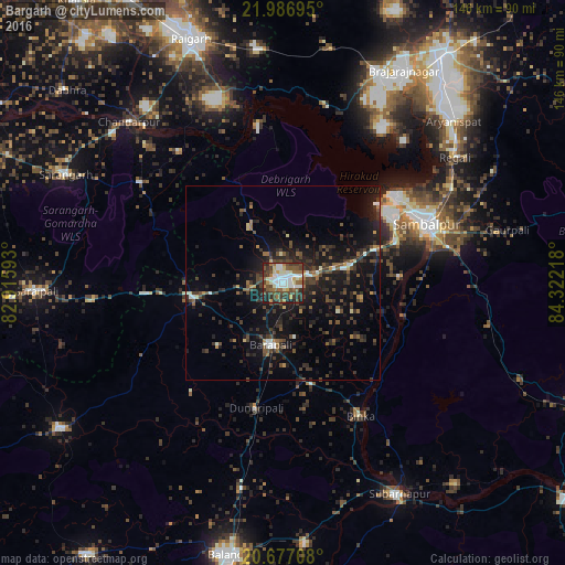
Analysis of Bargarh night lights 2016
Square area 10x10 km:
 13.83%
90-99
16.86%80-89
5.68%70-79
5.11%60-69
8.9%50-59
9.47%40-49
15.53%30-39
12.5%20-29
9.28%10-19
2.84%0-9
0%Square area 50x50 km:
0.93%90-99
1.34%80-89
0.66%70-79
0.65%60-69
1.33%50-59
1.99%40-49
3.23%30-39
3.51%20-29
5.09%10-19
11.63%0-9
69.64%Clear (daylight) street map image can be seen on geolist.org.
Map coordinates:
21° 59' 13" North, 82° 54' 57.3" East
21° 20' 0.5" North, 83° 37' 8.6" East
20° 40' 37.5" North, 84° 19' 19.8" East
Some cities around Bargarh sort by population:
• Sambalpur
39.7 km =24.7 mi,  68°
68°
• Brājarājnagar
61.9 km =38.5 mi,  29°
29°
• Burla
32.8 km =20.4 mi,  53°
53°
• Hīrākud
33.8 km =21 mi, 50°
• Barpāli
16.3 km =10.1 mi,  191°
191°
• Binka
39.6 km =24.6 mi,  149°
149°
• Sārangarh
62.6 km =38.9 mi,  296°
296°
• Rengāli
56.8 km =35.3 mi, 52°
1276988 (p: 68,670)
Sources (retrieved 2019-11-25):
» NASA, Earths city lights 1995
» NASA city lights 2003
» Earth at Night: Flat Maps 2012, 2016