Barpāli night lights from space
Night Light of Barpāli (Odisha) from space (India) Src. Average luminocity for 10x10km area is 25.0813% and for 50x50km: 11.7707%.
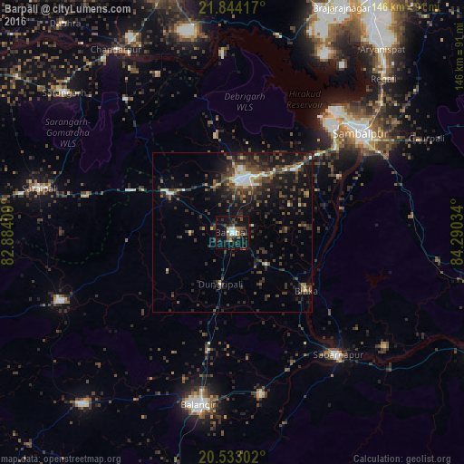
Analysis of Barpāli night lights 2016
Square area 10x10 km:
 2.98%
2.98%90-99
4.17%80-89
0%70-79
0.4%60-69
3.17%50-59
6.15%40-49
5.16%30-39
5.36%20-29
8.33%10-19
33.93%0-9
30.36%Square area 50x50 km:
0.93%90-99
1.35%80-89
0.59%70-79
0.57%60-69
1.26%50-59
2.12%40-49
3.19%30-39
3.81%20-29
5.21%10-19
9.9%0-9
71.06%Clear (daylight) street map image can be seen on geolist.org.
Map coordinates:
21° 50' 39" North, 82° 53' 2.7" East
21° 11' 24.2" North, 83° 35' 14" East
20° 31' 58.9" North, 84° 17' 25.2" East
Some cities around Barpāli sort by population:
• Sambalpur
50.6 km =31.4 mi,  52°
52°
• Balāngīr
55 km =34.2 mi,  190°
190°
• Bargarh
16.3 km =10.1 mi,  11°
11°
• Burla
46.2 km =28.7 mi,  39°
39°
• Hīrākud
47.6 km =29.6 mi, 38°
• Sonepur
52.4 km =32.6 mi,  139°
139°
• Binka
29.6 km =18.4 mi,  127°
127°
• Tarabha
51.7 km =32.1 mi,  169°
169°
1276870 (p: 20,202)
Sources (retrieved 2019-11-25):
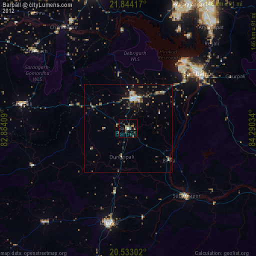
» Earth at Night: Flat Maps 2012, 2016