Tāndā night lights from space
Night Light of Tāndā (Uttar Pradesh) from space (India) Src. Average luminocity for 10x10km area is 52.2462% and for 50x50km: 23.609%.
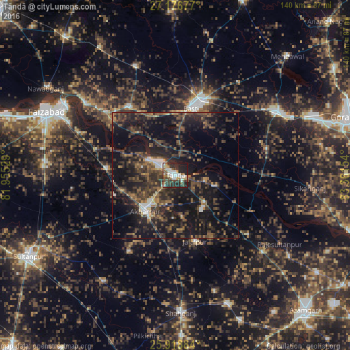
Analysis of Tāndā night lights 2016
Square area 10x10 km:
 12.12%
90-99
11.17%80-89
3.98%70-79
4.73%60-69
5.3%50-59
6.63%40-49
7.95%30-39
11.36%20-29
24.81%10-19
11.93%0-9
0%Square area 50x50 km:
1.5%90-99
1.73%80-89
0.94%70-79
1.75%60-69
3.14%50-59
4.76%40-49
7.1%30-39
8.19%20-29
12.1%10-19
25.54%0-9
33.24%Clear (daylight) street map image can be seen on geolist.org.
Map coordinates:
27° 10' 36.4" North, 81° 57' 19" East
26° 32' 58.3" North, 82° 39' 30.3" East
25° 55' 7.8" North, 83° 21' 41.5" East
Some cities around Tāndā sort by population:
• Bastī
27.1 km =16.8 mi,  12°
12°
• Khalīlābād
48 km =29.8 mi,  58°
58°
• Akbarpur
18.2 km =11.3 mi,  222°
222°
• Jalālpur
27.6 km =17.1 mi,  163°
163°
• Goshāinganj
27.7 km =17.2 mi,  274°
274°
• Dostpur
35.8 km =22.2 mi,  211°
211°
• Atraulia
37.5 km =23.3 mi,  129°
129°
• Haraiya
33.4 km =20.8 mi,  324°
324°
1255024 (p: 88,073)
Sources (retrieved 2019-11-25):
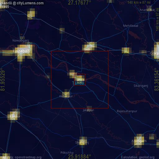
» NASA, Earths city lights 1995
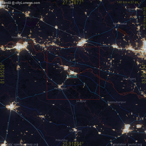
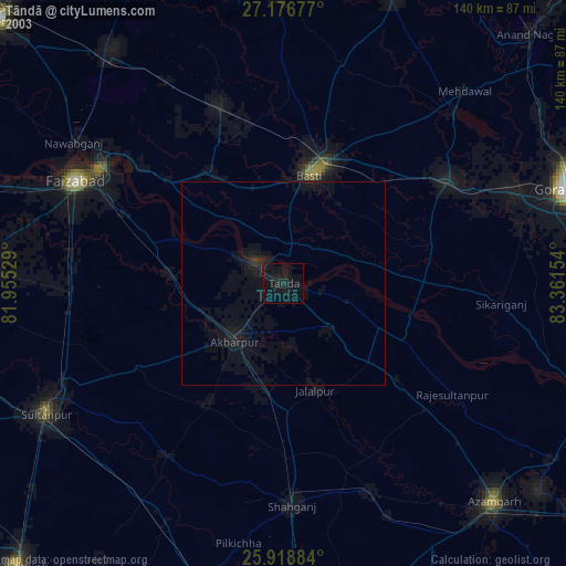
» NASA city lights 2003
» Earth at Night: Flat Maps 2012, 2016