Jalālpur night lights from space
Night Light of Jalālpur (Uttar Pradesh) from space (India) Src. Average luminocity for 10x10km area is 24.4841% and for 50x50km: 18.8456%.
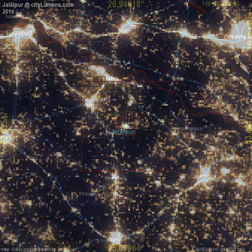
Analysis of Jalālpur night lights 2016
Square area 10x10 km:
 1.98%
1.98%90-99
1.59%80-89
0.99%70-79
1.79%60-69
2.98%50-59
5.95%40-49
5.56%30-39
5.95%20-29
7.34%10-19
46.83%0-9
19.05%Square area 50x50 km:
0.79%90-99
1.14%80-89
0.77%70-79
1.41%60-69
2.55%50-59
3.66%40-49
5.41%30-39
6.88%20-29
9.22%10-19
21.64%0-9
46.53%Clear (daylight) street map image can be seen on geolist.org.
Map coordinates:
26° 56' 24.6" North, 82° 2' 7.7" East
26° 18' 41.8" North, 82° 44' 18.9" East
25° 40' 46.7" North, 83° 26' 30.2" East
Some cities around Jalālpur sort by population:
• Tāndā
27.6 km =17.1 mi,  343°
343°
• Akbarpur
24.2 km =15 mi,  302°
302°
• Shāhganj
29.6 km =18.4 mi,  190°
190°
• Sarāi Mīr
36.4 km =22.6 mi,  150°
150°
• Dostpur
27 km =16.8 mi,  261°
261°
• Atraulia
20.9 km =13 mi,  83°
83°
• Phūlpur
29.4 km =18.3 mi, 152°
• Bishunpur Urf Mahārājganj
38.1 km =23.7 mi,  98°
98°
1269435 (p: 31,388)
Sources (retrieved 2019-11-25):
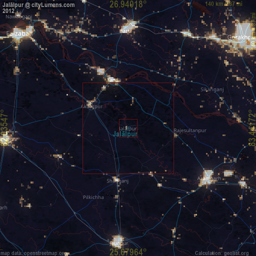
» Earth at Night: Flat Maps 2012, 2016