Bastī night lights from space
Night Light of Bastī (Uttar Pradesh) from space (India) Src. Average luminocity for 10x10km area is 58.7262% and for 50x50km: 17.8957%.
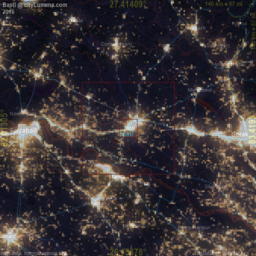
Analysis of Bastī night lights 2016
Square area 10x10 km:
 14.68%
90-99
14.29%80-89
4.37%70-79
5.16%60-69
7.54%50-59
5.36%40-49
12.7%30-39
6.75%20-29
26.59%10-19
2.58%0-9
0%Square area 50x50 km:
1.43%90-99
1.5%80-89
0.57%70-79
1.36%60-69
2.3%50-59
3.4%40-49
4.8%30-39
6.37%20-29
8.91%10-19
15.47%0-9
53.88%Clear (daylight) street map image can be seen on geolist.org.
Map coordinates:
27° 24' 50.7" North, 82° 0' 47" East
26° 47' 17.4" North, 82° 42' 58.2" East
26° 9' 31.6" North, 83° 25' 9.5" East
Some cities around Bastī sort by population:
• Tāndā
27.1 km =16.8 mi,  192°
192°
• Khalīlābād
35.3 km =21.9 mi,  92°
92°
• Bānsi
48.4 km =30.1 mi,  26°
26°
• Akbarpur
43.8 km =27.2 mi,  204°
204°
• Mehndāwal
44.3 km =27.5 mi,  61°
61°
• Maghar
41 km =25.5 mi,  95°
95°
• Goshāinganj
41.1 km =25.5 mi,  234°
234°
• Haraiya
25 km =15.5 mi,  271°
271°
1276736 (p: 115,115)
Sources (retrieved 2019-11-25):
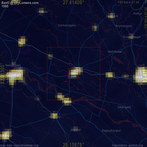
» NASA, Earths city lights 1995
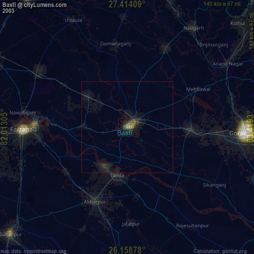
» NASA city lights 2003
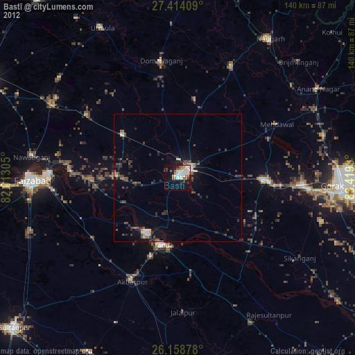
» Earth at Night: Flat Maps 2012, 2016