Tādpatri night lights from space
Night Light of Tādpatri (Andhra Pradesh) from space (India) Src. Average luminocity for 10x10km area is 49.0971% and for 50x50km: 7.0356%.
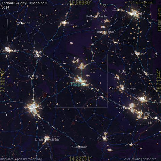
Analysis of Tādpatri night lights 2016
Square area 10x10 km:
 3.51%
3.51%90-99
16.74%80-89
4.13%70-79
3.31%60-69
8.06%50-59
10.95%40-49
6.4%30-39
7.02%20-29
14.88%10-19
24.79%0-9
0.21%Square area 50x50 km:
0.23%90-99
1.17%80-89
0.5%70-79
0.65%60-69
1.03%50-59
1.6%40-49
1.12%30-39
1.12%20-29
2.21%10-19
7.16%0-9
83.21%Clear (daylight) street map image can be seen on geolist.org.
Map coordinates:
15° 35' 12.1" North, 77° 18' 25.9" East
14° 54' 30" North, 78° 0' 37.1" East
14° 13' 40.1" North, 78° 42' 48.4" East
Some cities around Tādpatri sort by population:
• Anantapur
50.3 km =31.3 mi,  239°
239°
• Proddatūr
60.4 km =37.5 mi,  106°
106°
• Jammalamadugu
40.6 km =25.2 mi,  99°
99°
• Dhone
56.1 km =34.9 mi,  344°
344°
• Betamcherla
62.2 km =38.6 mi,  13°
13°
• Pulivendla
58.9 km =36.6 mi,  156°
156°
• Banganapalle
51.1 km =31.8 mi,  27°
27°
• Rāmāpuram
44.9 km =27.9 mi, 339°
1255254 (p: 93,044)
Sources (retrieved 2019-11-25):
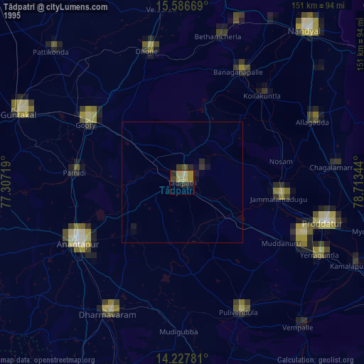
» NASA, Earths city lights 1995
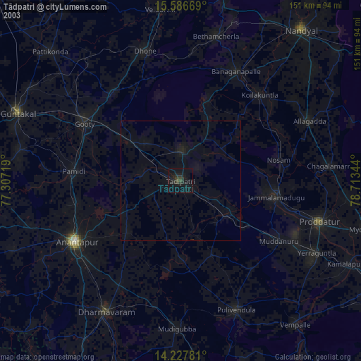
» NASA city lights 2003
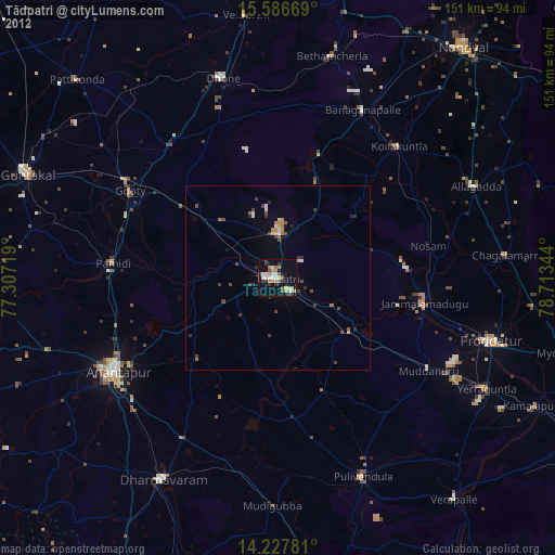
» Earth at Night: Flat Maps 2012, 2016