Jammalamadugu night lights from space
Night Light of Jammalamadugu (Andhra Pradesh) from space (India) Src. Average luminocity for 10x10km area is 21.5207% and for 50x50km: 8.834%.
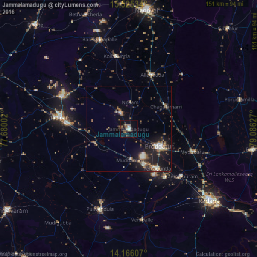
Analysis of Jammalamadugu night lights 2016
Square area 10x10 km:
 0%
0%90-99
5.79%80-89
1.65%70-79
0.83%60-69
3.31%50-59
3.93%40-49
5.58%30-39
3.72%20-29
3.93%10-19
15.7%0-9
55.58%Square area 50x50 km:
0.26%90-99
1.7%80-89
0.69%70-79
0.64%60-69
1.28%50-59
1.66%40-49
1.46%30-39
1.84%20-29
3.14%10-19
7.64%0-9
79.69%Clear (daylight) street map image can be seen on geolist.org.
Map coordinates:
15° 31' 31.2" North, 77° 40' 48.1" East
14° 50' 48.4" North, 78° 22' 59.3" East
14° 9' 57.9" North, 79° 5' 10.6" East
Some cities around Jammalamadugu sort by population:
• Proddatūr
20.7 km =12.9 mi,  121°
121°
• Cuddapah
62.5 km =38.8 mi,  130°
130°
• Tādpatri
40.6 km =25.2 mi,  279°
279°
• Chinnachowk
63.8 km =39.6 mi, 130°
• Pulivendla
50.3 km =31.3 mi,  199°
199°
• Erraguntla
28.6 km =17.8 mi,  143°
143°
• Banganapalle
55 km =34.2 mi,  342°
342°
• Kāmalāpuram
41.4 km =25.7 mi, 131°
1269323 (p: 43,870)
Sources (retrieved 2019-11-25):
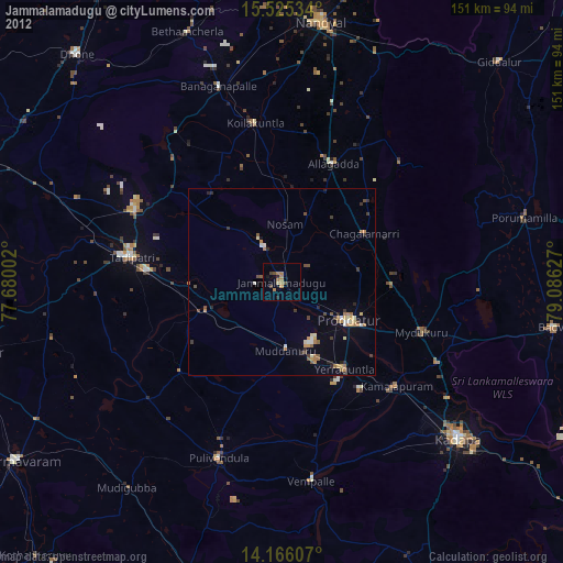
» Earth at Night: Flat Maps 2012, 2016