Proddatūr night lights from space
Night Light of Proddatūr (Andhra Pradesh) from space (India) Src. Average luminocity for 10x10km area is 44.2913% and for 50x50km: 10.9664%.
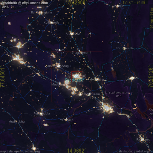
Analysis of Proddatūr night lights 2016
Square area 10x10 km:
 2.07%
2.07%90-99
13.43%80-89
5.37%70-79
3.1%60-69
10.74%50-59
5.79%40-49
2.69%30-39
7.85%20-29
15.29%10-19
32.23%0-9
1.45%Square area 50x50 km:
0.29%90-99
2.06%80-89
0.77%70-79
0.68%60-69
1.55%50-59
2%40-49
1.85%30-39
2.18%20-29
4.27%10-19
9.73%0-9
74.62%Clear (daylight) street map image can be seen on geolist.org.
Map coordinates:
15° 25' 44.7" North, 77° 50' 42" East
14° 45' 0.7" North, 78° 32' 53.3" East
14° 4' 9.1" North, 79° 15' 4.5" East
Some cities around Proddatūr sort by population:
• Cuddapah
42.2 km =26.2 mi,  135°
135°
• Tādpatri
60.4 km =37.5 mi,  286°
286°
• Chinnachowk
43.5 km =27 mi,  134°
134°
• Jammalamadugu
20.7 km =12.9 mi,  301°
301°
• Pulivendla
50.5 km =31.4 mi,  223°
223°
• Erraguntla
12.4 km =7.7 mi,  184°
184°
• Badvel
55.4 km =34.4 mi,  90°
90°
• Kāmalāpuram
21.3 km =13.2 mi, 142°
1259312 (p: 177,797)
Sources (retrieved 2019-11-25):
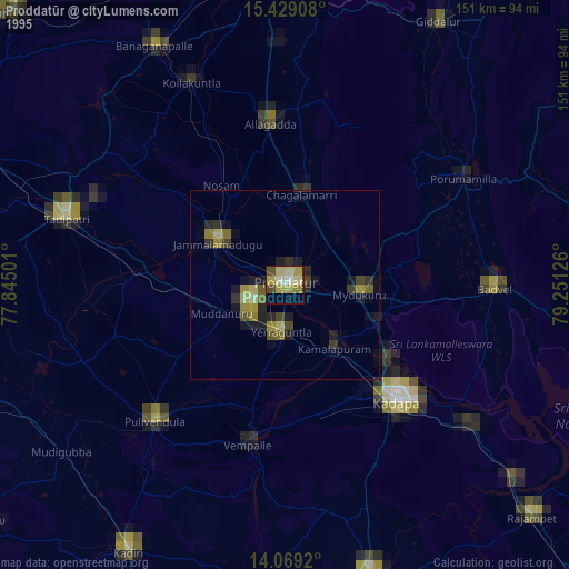
» NASA, Earths city lights 1995
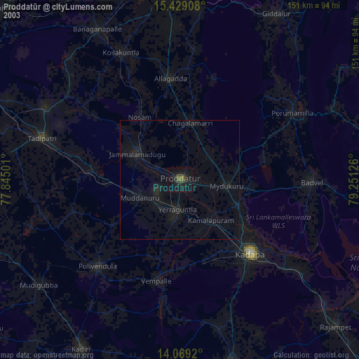
» NASA city lights 2003
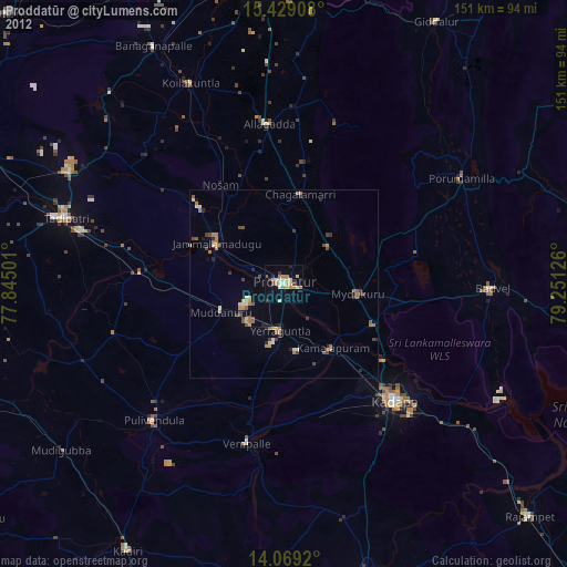
» Earth at Night: Flat Maps 2012, 2016