Pulivendla night lights from space
Night Light of Pulivendla (Andhra Pradesh) from space (India) Src. Average luminocity for 10x10km area is 20.0498% and for 50x50km: 1.9614%.
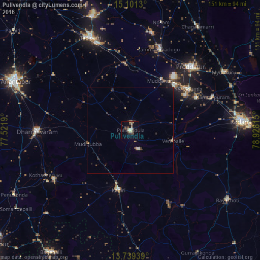
Analysis of Pulivendla night lights 2016
Square area 10x10 km:
 0%
0%90-99
3.25%80-89
6.28%70-79
0.87%60-69
1.73%50-59
2.6%40-49
4.98%30-39
3.68%20-29
2.81%10-19
5.84%0-9
67.97%Square area 50x50 km:
0.02%90-99
0.25%80-89
0.33%70-79
0.13%60-69
0.16%50-59
0.37%40-49
0.33%30-39
0.42%20-29
0.85%10-19
0.7%0-9
96.45%Clear (daylight) street map image can be seen on geolist.org.
Map coordinates:
15° 6' 4.7" North, 77° 31' 18.8" East
14° 25' 17" North, 78° 13' 30.1" East
13° 44' 21.8" North, 78° 55' 41.3" East
Some cities around Pulivendla sort by population:
• Proddatūr
50.5 km =31.4 mi,  43°
43°
• Dharmavaram
54.4 km =33.8 mi,  269°
269°
• Tādpatri
58.9 km =36.6 mi,  336°
336°
• Kadiri
35.1 km =21.8 mi,  191°
191°
• Jammalamadugu
50.3 km =31.3 mi,  19°
19°
• Erraguntla
41.6 km =25.8 mi,  54°
54°
• Kāmalāpuram
51.7 km =32.1 mi,  67°
67°
• Puttaparthi
52.9 km =32.9 mi,  237°
237°
1259264 (p: 33,615)
Sources (retrieved 2019-11-25):
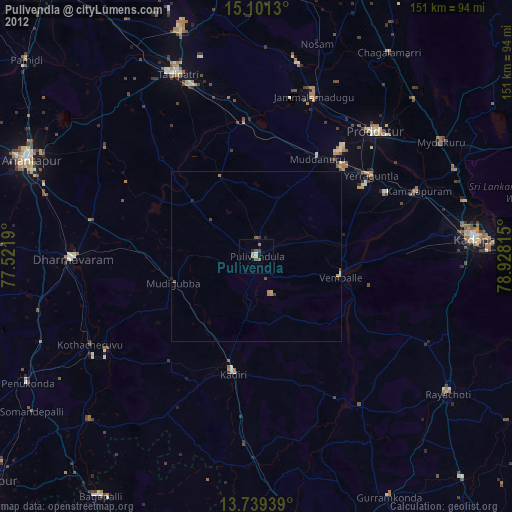
» Earth at Night: Flat Maps 2012, 2016