Dhone night lights from space
Night Light of Dhone (Andhra Pradesh) from space (India) Src. Average luminocity for 10x10km area is 18.9697% and for 50x50km: 1.9708%.
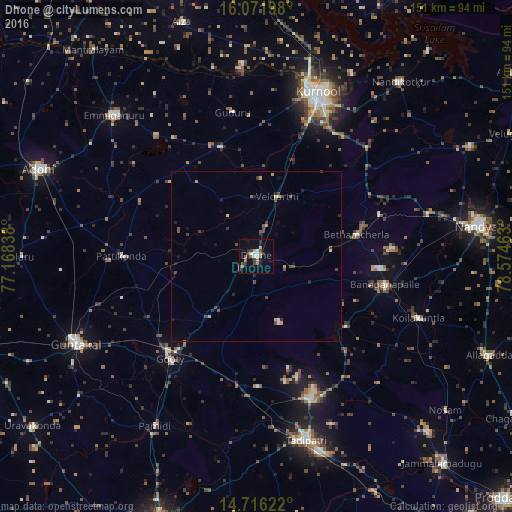
Analysis of Dhone night lights 2016
Square area 10x10 km:
 1.73%
1.73%90-99
3.46%80-89
0.43%70-79
2.6%60-69
3.68%50-59
2.38%40-49
3.9%30-39
2.16%20-29
3.46%10-19
5.19%0-9
71%Square area 50x50 km:
0.1%90-99
0.2%80-89
0.18%70-79
0.27%60-69
0.22%50-59
0.29%40-49
0.66%30-39
0.38%20-29
0.39%10-19
0.63%0-9
96.69%Clear (daylight) street map image can be seen on geolist.org.
Map coordinates:
16° 4' 19.1" North, 77° 10' 6.2" East
15° 23' 42.7" North, 77° 52' 17.4" East
14° 42' 58.4" North, 78° 34' 28.7" East
Some cities around Dhone sort by population:
• Kurnool
51.3 km =31.9 mi,  20°
20°
• Guntakal Junction
60 km =37.3 mi,  245°
245°
• Tādpatri
56.1 km =34.9 mi,  164°
164°
• Emmiganūr
59 km =36.7 mi,  315°
315°
• Betamcherla
30.3 km =18.8 mi,  78°
78°
• Banganapalle
39 km =24.2 mi,  102°
102°
• Ālampur
60.8 km =37.8 mi,  27°
27°
• Rāmāpuram
12 km =7.5 mi,  182°
182°
1272722 (p: 39,689)
Sources (retrieved 2019-11-25):
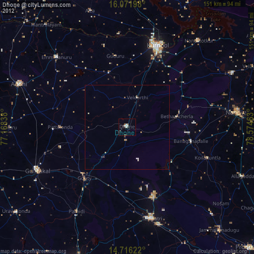
» Earth at Night: Flat Maps 2012, 2016