Tādepallegūdem night lights from space
Night Light of Tādepallegūdem (Andhra Pradesh) from space (India) Src. Average luminocity for 10x10km area is 28.5476% and for 50x50km: 10.5177%.
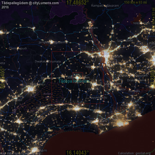
Analysis of Tādepallegūdem night lights 2016
Square area 10x10 km:
 0%
0%90-99
7.36%80-89
2.6%70-79
3.25%60-69
3.68%50-59
3.9%40-49
5.41%30-39
7.14%20-29
6.06%10-19
31.39%0-9
29.22%Square area 50x50 km:
0.18%90-99
1.37%80-89
0.68%70-79
0.97%60-69
1.47%50-59
1.54%40-49
2.64%30-39
2.55%20-29
3.52%10-19
9.74%0-9
75.36%Clear (daylight) street map image can be seen on geolist.org.
Map coordinates:
17° 29' 11.5" North, 80° 49' 26.6" East
16° 48' 52.8" North, 81° 31' 37.8" East
16° 8' 25.5" North, 82° 13' 49.1" East
Some cities around Tādepallegūdem sort by population:
• Bhīmavaram
30.5 km =19 mi,  180°
180°
• Tanuku
17.7 km =11 mi,  112°
112°
• Attili
14.9 km =9.3 mi,  148°
148°
• Nidadavole
18.5 km =11.5 mi,  56°
56°
• Akivīdu
30.2 km =18.8 mi,  211°
211°
• Kovvūr
31.1 km =19.3 mi,  43°
43°
• Penugonda
29.3 km =18.2 mi,  127°
127°
• Pippara
11.2 km =7 mi,  167°
167°
1255264 (p: 108,167)
Sources (retrieved 2019-11-25):
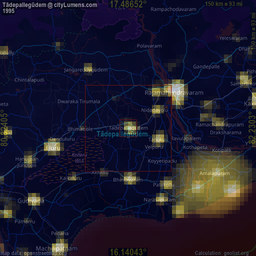
» NASA, Earths city lights 1995
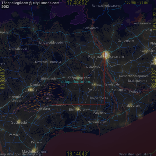
» NASA city lights 2003
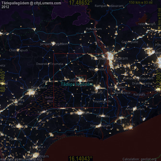
» Earth at Night: Flat Maps 2012, 2016