Akivīdu night lights from space
Night Light of Akivīdu (Andhra Pradesh) from space (India) Src. Average luminocity for 10x10km area is 16.0368% and for 50x50km: 9.882%.
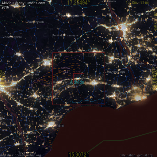
Analysis of Akivīdu night lights 2016
Square area 10x10 km:
 0%
0%90-99
1.73%80-89
0%70-79
1.73%60-69
0.87%50-59
4.11%40-49
4.55%30-39
3.03%20-29
7.36%10-19
11.47%0-9
65.15%Square area 50x50 km:
0.13%90-99
0.86%80-89
0.47%70-79
0.68%60-69
1.03%50-59
2.12%40-49
2.68%30-39
2.99%20-29
4.05%10-19
9.87%0-9
75.13%Clear (daylight) street map image can be seen on geolist.org.
Map coordinates:
17° 15' 17.8" North, 80° 40' 40.8" East
16° 34' 56.1" North, 81° 22' 52" East
15° 54' 25.9" North, 82° 5' 3.3" East
Some cities around Akivīdu sort by population:
• Ellore
32.9 km =20.4 mi,  296°
296°
• Bhīmavaram
15.8 km =9.8 mi,  106°
106°
• Tādepallegūdem
30.2 km =18.8 mi,  31°
31°
• Attili
26.7 km =16.6 mi,  60°
60°
• Kanuru
35.6 km =22.1 mi,  202°
202°
• Kaikalūr
18.1 km =11.2 mi,  259°
259°
• Pippara
23.4 km =14.5 mi,  50°
50°
• Korukollu
16.7 km =10.4 mi,  236°
236°
1279123 (p: 40,413)
Sources (retrieved 2019-11-25):
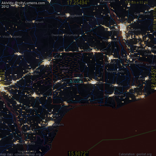
» Earth at Night: Flat Maps 2012, 2016