Sūrat night lights from space
Night Light of Sūrat (Gujarat) from space (India) Src. Average luminocity for 10x10km area is 99.5694% and for 50x50km: 43.7511%.
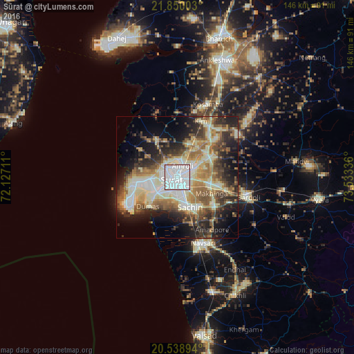
Analysis of Sūrat night lights 2016
Square area 10x10 km:
 71.03%
90-99
28.97%80-89
0%70-79
0%60-69
0%50-59
0%40-49
0%30-39
0%20-29
0%10-19
0%0-9
0%Square area 50x50 km:
6.87%90-99
10.91%80-89
6.67%70-79
4.96%60-69
6.33%50-59
6.47%40-49
6.11%30-39
6.91%20-29
8.98%10-19
11.82%0-9
23.97%Clear (daylight) street map image can be seen on geolist.org.
Map coordinates:
21° 51' 0.1" North, 72° 7' 37.6" East
21° 11' 45.4" North, 72° 49' 48.8" East
20° 32' 20.2" North, 73° 32' 0.1" East
Some cities around Sūrat sort by population:
• Navsāri
29.8 km =18.5 mi,  160°
160°
• Bārdoli
30.3 km =18.8 mi,  105°
105°
• Jalālpur
28.4 km =17.6 mi,  165°
165°
• Amroli
6.2 km =3.9 mi,  8°
8°
• Kāthor
15.4 km =9.6 mi,  48°
48°
• Utrān
5.6 km =3.5 mi,  42°
42°
• Olpād
17.6 km =10.9 mi,  332°
332°
• Sachīn
13.2 km =8.2 mi, 156°
1255364 (p: 2,894,504)
Sources (retrieved 2019-11-25):
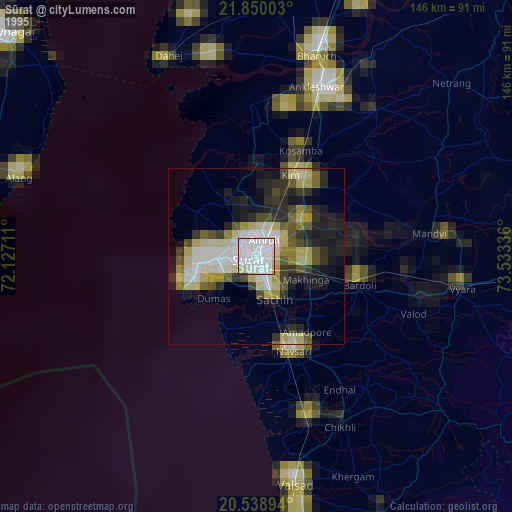
» NASA, Earths city lights 1995
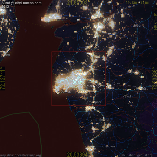
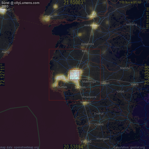
» NASA city lights 2003
» Earth at Night: Flat Maps 2012, 2016