Sultānpur night lights from space
Night Light of Sultānpur (Uttar Pradesh) from space (India) Src. Average luminocity for 10x10km area is 76.6766% and for 50x50km: 19.0315%.
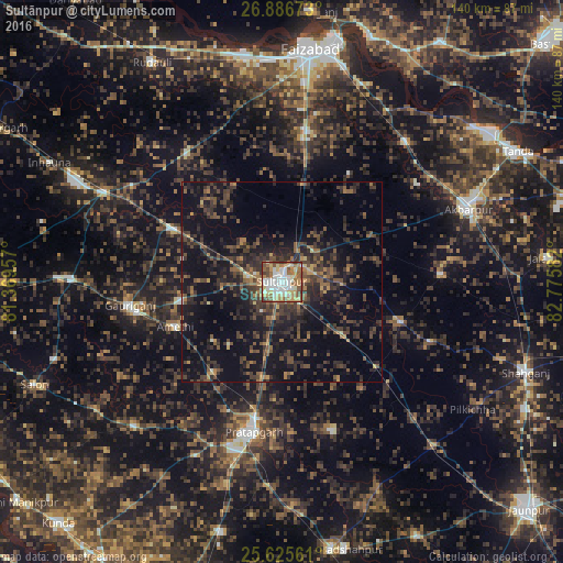
Analysis of Sultānpur night lights 2016
Square area 10x10 km:
 17.86%
90-99
20.24%80-89
14.48%70-79
8.53%60-69
13.69%50-59
11.51%40-49
9.52%30-39
3.97%20-29
0.2%10-19
0%0-9
0%Square area 50x50 km:
0.76%90-99
1.05%80-89
1.07%70-79
1.36%60-69
2.65%50-59
3.75%40-49
5.77%30-39
7.1%20-29
8.98%10-19
17.7%0-9
49.82%Clear (daylight) street map image can be seen on geolist.org.
Map coordinates:
26° 53' 12.2" North, 81° 22' 10.5" East
26° 15' 28.4" North, 82° 4' 21.7" East
25° 37' 32.2" North, 82° 46' 33" East
Some cities around Sultānpur sort by population:
• Bela
38.3 km =23.8 mi,  191°
191°
• Amethī
28.9 km =18 mi,  247°
247°
• Bīkāpur
38 km =23.6 mi,  9°
9°
• Dostpur
39.8 km =24.7 mi,  87°
87°
• Patti
39.5 km =24.5 mi,  161°
161°
• Antu
28.1 km =17.5 mi,  217°
217°
• Musāfir-Khāna
30.7 km =19.1 mi,  295°
295°
• Kādīpur
31.3 km =19.4 mi,  108°
108°
1255491 (p: 110,368)
Sources (retrieved 2019-11-25):
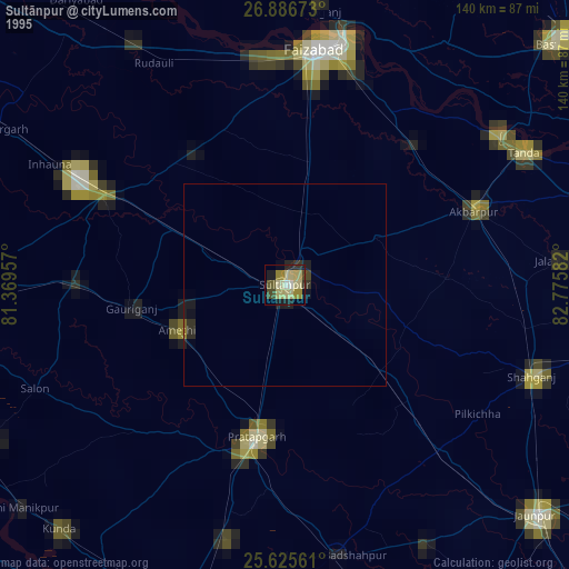
» NASA, Earths city lights 1995
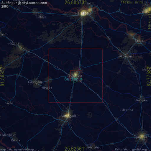
» NASA city lights 2003
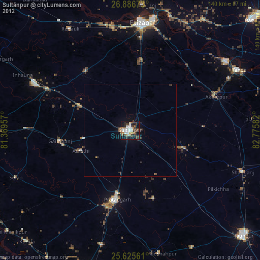
» Earth at Night: Flat Maps 2012, 2016