Bela night lights from space
Night Light of Bela (Uttar Pradesh) from space (India) Src. Average luminocity for 10x10km area is 66.6837% and for 50x50km: 22.2542%.
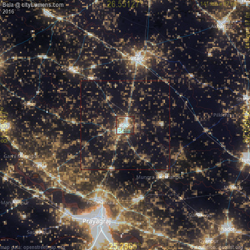
Analysis of Bela night lights 2016
Square area 10x10 km:
 14.02%
90-99
18.94%80-89
3.98%70-79
7.77%60-69
11.55%50-59
10.42%40-49
12.88%30-39
12.69%20-29
7.58%10-19
0.19%0-9
0%Square area 50x50 km:
0.66%90-99
1.2%80-89
0.64%70-79
1.64%60-69
2.85%50-59
4.38%40-49
7.37%30-39
8.28%20-29
11.36%10-19
25.28%0-9
36.34%Clear (daylight) street map image can be seen on geolist.org.
Map coordinates:
26° 33' 4.6" North, 81° 17' 35.4" East
25° 55' 14.1" North, 81° 59' 46.6" East
25° 17' 11.4" North, 82° 41' 57.9" East
Some cities around Bela sort by population:
• Sultānpur
38.3 km =23.8 mi,  11°
11°
• Lālganj
29.2 km =18.1 mi,  272°
272°
• Phulpur
42.4 km =26.3 mi,  167°
167°
• Mau Aimma
26.1 km =16.2 mi,  196°
196°
• Amethī
32.5 km =20.2 mi,  324°
324°
• Pratāpgarh
6.1 km =3.8 mi,  242°
242°
• Patti
20.4 km =12.7 mi,  89°
89°
• Antu
17.8 km =11.1 mi,  328°
328°
1276574 (p: 73,992)
Sources (retrieved 2019-11-25):
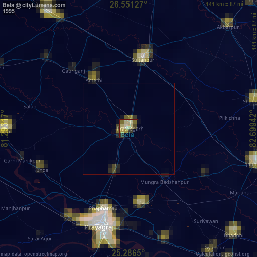
» NASA, Earths city lights 1995
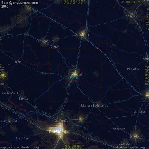
» NASA city lights 2003
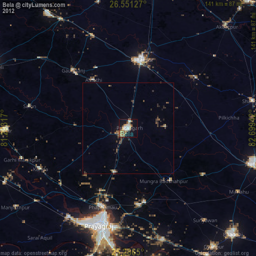
» Earth at Night: Flat Maps 2012, 2016