Sivaganga night lights from space
Night Light of Sivaganga (Tamil Nadu) from space (India) Src. Average luminocity for 10x10km area is 15.1017% and for 50x50km: 3.0873%.
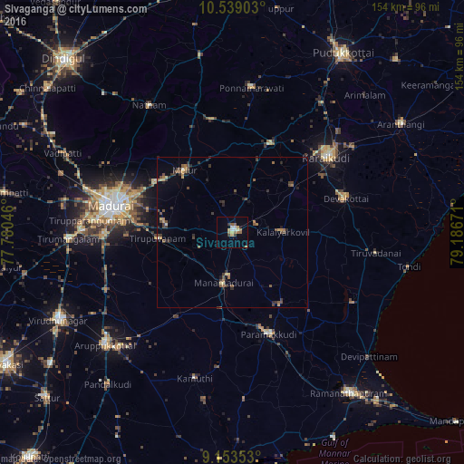
Analysis of Sivaganga night lights 2016
Square area 10x10 km:
 0.22%
0.22%90-99
3.46%80-89
1.73%70-79
2.38%60-69
3.68%50-59
2.81%40-49
0.22%30-39
2.38%20-29
0.22%10-19
0.87%0-9
82.03%Square area 50x50 km:
0.01%90-99
0.26%80-89
0.27%70-79
0.41%60-69
0.56%50-59
0.55%40-49
0.9%30-39
0.81%20-29
0.73%10-19
0.47%0-9
95.05%Clear (daylight) street map image can be seen on geolist.org.
Map coordinates:
10° 32' 20.5" North, 77° 46' 49.7" East
9° 50' 49.2" North, 78° 29' 0.9" East
9° 9' 12.7" North, 79° 11' 12.2" East
Some cities around Sivaganga sort by population:
• Kāraikkudi
39.5 km =24.5 mi,  51°
51°
• Paramagudi
35.4 km =22 mi,  160°
160°
• Devakottai
38.8 km =24.1 mi,  73°
73°
• Melur
26 km =16.2 mi,  322°
322°
• Manamadurai
19.4 km =12.1 mi,  184°
184°
• Tiruppuvanam
24.8 km =15.4 mi,  264°
264°
• Mangalam
19.5 km =12.1 mi,  118°
118°
• Nāttarasankottai
8 km =5 mi, 72°
1255953 (p: 42,785)
Sources (retrieved 2019-11-25):
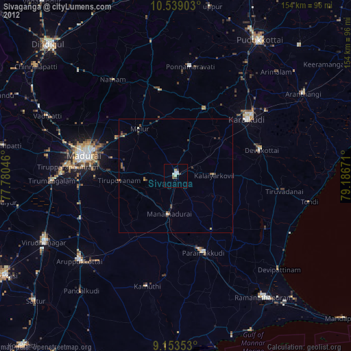
» Earth at Night: Flat Maps 2012, 2016