Paramagudi night lights from space
Night Light of Paramagudi (Tamil Nadu) from space (India) Src. Average luminocity for 10x10km area is 13.1494% and for 50x50km: 1.5849%.
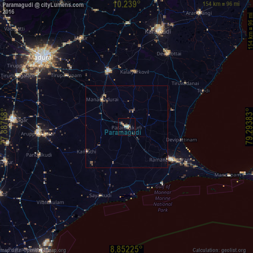
Analysis of Paramagudi night lights 2016
Square area 10x10 km:
 0.43%
0.43%90-99
3.03%80-89
0.87%70-79
3.03%60-69
3.03%50-59
0%40-49
2.6%30-39
1.52%20-29
1.52%10-19
1.3%0-9
82.68%Square area 50x50 km:
0.03%90-99
0.16%80-89
0.14%70-79
0.2%60-69
0.26%50-59
0.3%40-49
0.45%30-39
0.33%20-29
0.38%10-19
0.41%0-9
97.34%Clear (daylight) street map image can be seen on geolist.org.
Map coordinates:
10° 14' 20.4" North, 77° 53' 15.3" East
9° 32' 46.8" North, 78° 35' 26.5" East
8° 51' 8.1" North, 79° 17' 37.8" East
Some cities around Paramagudi sort by population:
• Ramanathapuram
32.7 km =20.3 mi,  126°
126°
• Sivaganga
35.4 km =22 mi,  340°
340°
• Manamadurai
19.3 km =12 mi,  317°
317°
• Mudukulattūr
24.3 km =15.1 mi,  200°
200°
• Kamuthi
28.4 km =17.6 mi,  237°
237°
• Mangalam
24.9 km =15.5 mi,  12°
12°
• Tiruppālaikudi
35.8 km =22.2 mi,  90°
90°
• Abirāmam
20.2 km =12.6 mi, 235°
1260387 (p: 85,695)
Sources (retrieved 2019-11-25):
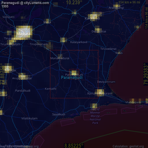
» NASA, Earths city lights 1995
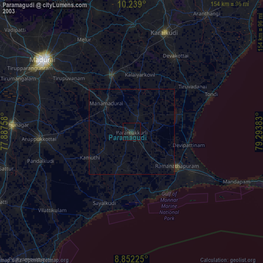
» NASA city lights 2003
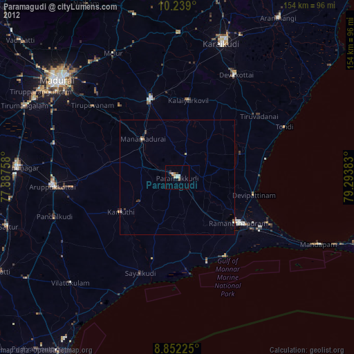
» Earth at Night: Flat Maps 2012, 2016