Sītāmarhi night lights from space
Night Light of Sītāmarhi (Bihar) from space (India) Src. Average luminocity for 10x10km area is 39.6856% and for 50x50km: 10.6557%.
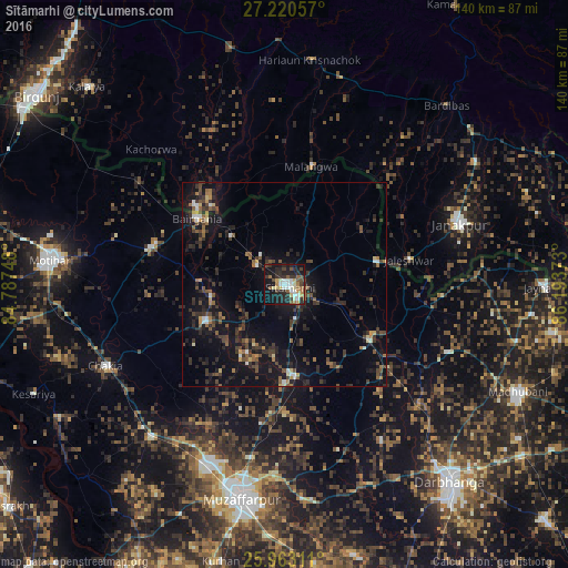
Analysis of Sītāmarhi night lights 2016
Square area 10x10 km:
 5.87%
5.87%90-99
7.39%80-89
3.98%70-79
3.98%60-69
4.73%50-59
7.01%40-49
5.11%30-39
7.58%20-29
14.77%10-19
32.95%0-9
6.63%Square area 50x50 km:
0.73%90-99
0.76%80-89
0.62%70-79
0.72%60-69
1.27%50-59
1.84%40-49
2.61%30-39
2.8%20-29
4.52%10-19
10.98%0-9
73.14%Clear (daylight) street map image can be seen on geolist.org.
Map coordinates:
27° 13' 14.1" North, 84° 47' 14.9" East
26° 35' 36.9" North, 85° 29' 26.2" East
25° 57' 47.2" North, 86° 11' 37.4" East
Some cities around Sītāmarhi sort by population:
• Bairāgnia
27.1 km =16.8 mi,  307°
307°
• Gaur, NP
28.4 km =17.6 mi, 312°
• Sheohar
21.5 km =13.4 mi,  245°
245°
• Jaleshwar, NP
31.4 km =19.5 mi,  78°
78°
• Malaṅgawā, NP
30 km =18.6 mi,  13°
13°
• Belsand
18.9 km =11.7 mi,  208°
208°
• Dumra
4.2 km =2.6 mi,  134°
134°
• Pupri
25.2 km =15.7 mi,  122°
122°
1255983 (p: 57,095)
Sources (retrieved 2019-11-25):
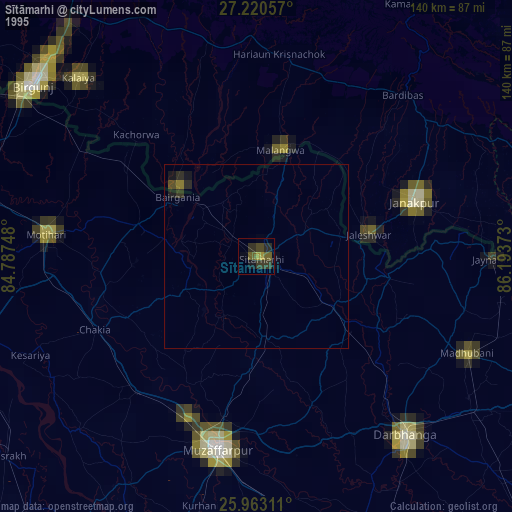
» NASA, Earths city lights 1995
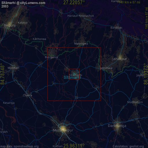
» NASA city lights 2003
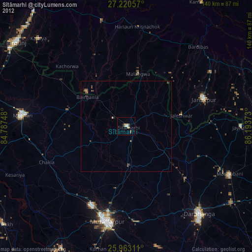
» Earth at Night: Flat Maps 2012, 2016