Gaur night lights from space
Night Light of Gaur (Province 2) from space (Nepal) Src. Average luminocity for 10x10km area is 33.244% and for 50x50km: 6.6102%.
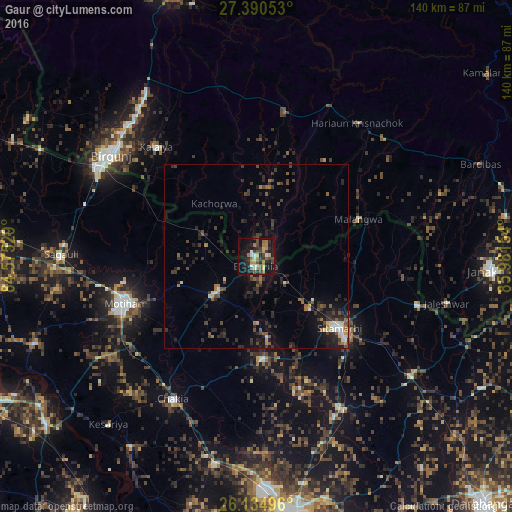
Analysis of Gaur night lights 2016
Square area 10x10 km:
 4.17%
4.17%90-99
2.98%80-89
3.77%70-79
3.97%60-69
5.16%50-59
6.55%40-49
8.73%30-39
4.56%20-29
8.53%10-19
33.53%0-9
18.06%Square area 50x50 km:
0.53%90-99
0.53%80-89
0.37%70-79
0.44%60-69
0.73%50-59
1.34%40-49
1.56%30-39
1.75%20-29
2.89%10-19
4.88%0-9
84.99%Clear (daylight) street map image can be seen on geolist.org.
Map coordinates:
27° 23' 25.9" North, 84° 34' 31" East
26° 45' 52.1" North, 85° 16' 42.3" East
26° 8' 5.9" North, 85° 58' 53.5" East
Some cities around Gaur sort by population:
• Mothīhāri, IN
38.2 km =23.7 mi,  250°
250°
• Sītāmarhi, IN
28.4 km =17.6 mi,  132°
132°
• Bairāgnia, IN
2.7 km =1.7 mi,  190°
190°
• Dhāka, IN
14.9 km =9.3 mi,  227°
227°
• Sheohar, IN
27.9 km =17.3 mi,  176°
176°
• Malaṅgawā
29.7 km =18.5 mi,  69°
69°
• Belsand, IN
37.7 km =23.4 mi,  161°
161°
• Dumra, IN
32.6 km =20.3 mi, 132°
1283401 (p: 27,325)
Sources (retrieved 2019-11-25):
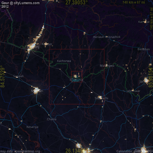
» Earth at Night: Flat Maps 2012, 2016