Silao night lights from space
Night Light of Silao (Bihar) from space (India) Src. Average luminocity for 10x10km area is 76.8409% and for 50x50km: 51.9441%.
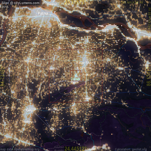
Analysis of Silao night lights 2016
Square area 10x10 km:
 14.58%
90-99
21.21%80-89
11.36%70-79
10.04%60-69
22.73%50-59
14.2%40-49
5.87%30-39
0%20-29
0%10-19
0%0-9
0%Square area 50x50 km:
5.01%90-99
6.82%80-89
6.37%70-79
8.97%60-69
10.66%50-59
14.92%40-49
13.62%30-39
10.32%20-29
10.61%10-19
6.6%0-9
6.1%Clear (daylight) street map image can be seen on geolist.org.
Map coordinates:
25° 43' 7.4" North, 84° 43' 29.7" East
25° 5' 0.9" North, 85° 25' 40.9" East
24° 26' 42.4" North, 86° 7' 52.2" East
Some cities around Silao sort by population:
• Bihār Sharīf
16.2 km =10.1 mi,  36°
36°
• Nawāda
24.8 km =15.4 mi,  151°
151°
• Bar Bigha
34.2 km =21.3 mi,  63°
63°
• Hilsa
29.8 km =18.5 mi,  330°
330°
• Rājgīr
6.2 km =3.9 mi,  186°
186°
• Wāris Alīganj
22.6 km =14 mi,  109°
109°
• Islāmpur
23.3 km =14.5 mi,  285°
285°
• Hisuā
27.8 km =17.3 mi,  182°
182°
1256295 (p: 21,828)
Sources (retrieved 2019-11-25):
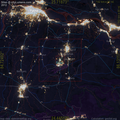
» Earth at Night: Flat Maps 2012, 2016