Islāmpur night lights from space
Night Light of Islāmpur (Bihar) from space (India) Src. Average luminocity for 10x10km area is 59.4773% and for 50x50km: 53.3754%.
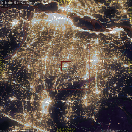
Analysis of Islāmpur night lights 2016
Square area 10x10 km:
 5.87%
5.87%90-99
5.49%80-89
8.9%70-79
9.47%60-69
8.14%50-59
25.95%40-49
24.62%30-39
7.58%20-29
3.98%10-19
0%0-9
0%Square area 50x50 km:
3.47%90-99
6.01%80-89
7.15%70-79
8.87%60-69
10.99%50-59
18.61%40-49
17.62%30-39
9.52%20-29
9.31%10-19
6.03%0-9
2.42%Clear (daylight) street map image can be seen on geolist.org.
Map coordinates:
25° 46' 32.2" North, 84° 30' 9.9" East
25° 8' 26.7" North, 85° 12' 21.1" East
24° 30' 9.3" North, 85° 54' 32.4" East
Some cities around Islāmpur sort by population:
• Bihār Sharīf
32.7 km =20.3 mi,  78°
78°
• Jahānābād
23.5 km =14.6 mi,  290°
290°
• Masaurhi Buzurg
29.5 km =18.3 mi,  323°
323°
• Hilsa
21 km =13 mi,  21°
21°
• Rājgīr
25 km =15.5 mi,  120°
120°
• Hisuā
40.3 km =25 mi,  148°
148°
• Silao
23.3 km =14.5 mi,  105°
105°
• Khusropur
42 km =26.1 mi,  25°
25°
1269666 (p: 31,875)
Sources (retrieved 2019-11-25):
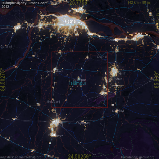
» Earth at Night: Flat Maps 2012, 2016