Hisuā night lights from space
Night Light of Hisuā (Bihar) from space (India) Src. Average luminocity for 10x10km area is 56.4735% and for 50x50km: 31.6979%.
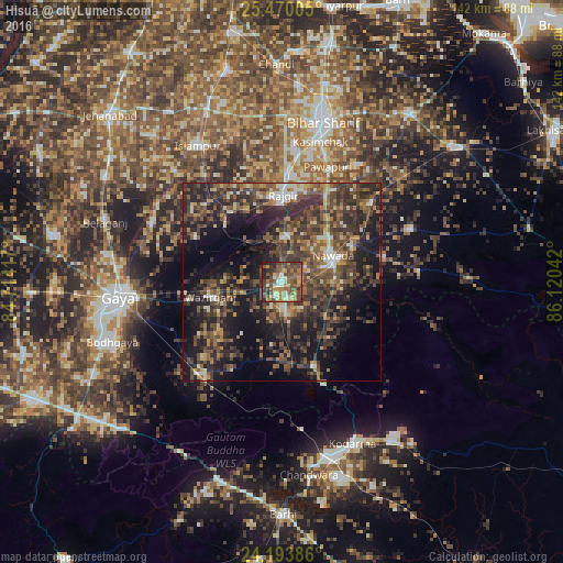
Analysis of Hisuā night lights 2016
Square area 10x10 km:
100  2.65%
2.65%
90-99 7.01%
80-89 8.71%
70-79 9.28%
60-69 12.88%
50-59 15.91%
40-49 22.35%
30-39 10.61%
20-29 9.09%
10-19 1.52%
0-9 0%
2.65%90-99
7.01%80-89
8.71%70-79
9.28%60-69
12.88%50-59
15.91%40-49
22.35%30-39
10.61%20-29
9.09%10-19
1.52%0-9
0%Square area 50x50 km:
100 1.71%
90-99 2.63%
80-89 2.67%
70-79 3.42%
60-69 5.05%
50-59 7.5%
40-49 10.93%
30-39 10.73%
20-29 14.14%
10-19 18.22%
0-9 23%
1.71%90-99
2.63%80-89
2.67%70-79
3.42%60-69
5.05%50-59
7.5%40-49
10.93%30-39
10.73%20-29
14.14%10-19
18.22%0-9
23%Clear (daylight) street map image can be seen on geolist.org.
Map coordinates:
25° 28' 12.2" North, 84° 42' 51" East
24° 50' 1" North, 85° 25' 2.2" East
24° 11' 37.9" North, 86° 7' 13.5" East
Some cities around Hisuā sort by population:
• Gaya
41.9 km =26 mi,  264°
264°
• Bihār Sharīf
42.2 km =26.2 mi,  14°
14°
• Nawāda
14 km =8.7 mi,  65°
65°
• Rājgīr
21.6 km =13.4 mi,  0°
0°
• Wāris Alīganj
30.4 km =18.9 mi,  47°
47°
• Islāmpur
40.3 km =25 mi,  328°
328°
• Silao
27.8 km =17.3 mi, 2°
• Kodarmā
44.4 km =27.6 mi,  156°
156°
1270021 (p: 27,943)
Sources (retrieved 2019-11-25):
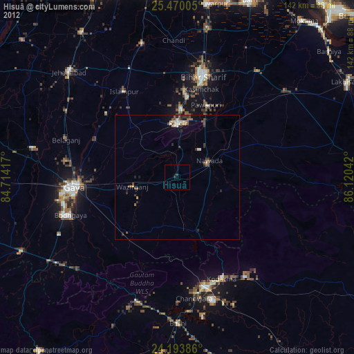
» Earth at Night: Flat Maps 2012, 2016