Rājgīr night lights from space
Night Light of Rājgīr (Bihar) from space (India) Src. Average luminocity for 10x10km area is 62.0909% and for 50x50km: 49.385%.
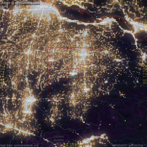
Analysis of Rājgīr night lights 2016
Square area 10x10 km:
 14.96%
90-99
14.77%80-89
4.55%70-79
4.73%60-69
14.58%50-59
9.47%40-49
4.55%30-39
9.66%20-29
21.4%10-19
1.33%0-9
0%Square area 50x50 km:
4.65%90-99
6.41%80-89
5.89%70-79
7.79%60-69
9.78%50-59
13.46%40-49
13.86%30-39
10.98%20-29
11.4%10-19
8.37%0-9
7.43%Clear (daylight) street map image can be seen on geolist.org.
Map coordinates:
25° 39' 49.4" North, 84° 43' 3.6" East
25° 1' 41.8" North, 85° 25' 14.8" East
24° 23' 22.3" North, 86° 7' 26.1" East
Some cities around Rājgīr sort by population:
• Bihār Sharīf
21.8 km =13.5 mi,  28°
28°
• Nawāda
20 km =12.4 mi,  141°
141°
• Bar Bigha
37.9 km =23.5 mi,  56°
56°
• Hilsa
34.9 km =21.7 mi,  336°
336°
• Wāris Alīganj
22.2 km =13.8 mi,  93°
93°
• Islāmpur
25 km =15.5 mi,  300°
300°
• Hisuā
21.6 km =13.4 mi,  180°
180°
• Silao
6.2 km =3.9 mi,  6°
6°
1258864 (p: 38,348)
Sources (retrieved 2019-11-25):
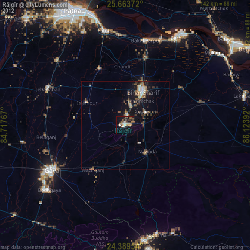
» Earth at Night: Flat Maps 2012, 2016