Hilsa night lights from space
Night Light of Hilsa (Bihar) from space (India) Src. Average luminocity for 10x10km area is 63.004% and for 50x50km: 59.5632%.
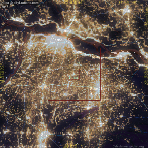
Analysis of Hilsa night lights 2016
Square area 10x10 km:
 4.76%
4.76%90-99
5.95%80-89
8.73%70-79
17.06%60-69
10.32%50-59
27.38%40-49
21.23%30-39
4.56%20-29
0%10-19
0%0-9
0%Square area 50x50 km:
5.8%90-99
8.36%80-89
8.31%70-79
10.51%60-69
12.57%50-59
18.36%40-49
18.49%30-39
8.45%20-29
5.25%10-19
2.32%0-9
1.57%Clear (daylight) street map image can be seen on geolist.org.
Map coordinates:
25° 57' 1.2" North, 84° 34' 45.2" East
25° 18' 59.1" North, 85° 16' 56.4" East
24° 40' 45" North, 85° 59' 7.7" East
Some cities around Hilsa sort by population:
• Bihār Sharīf
27.5 km =17.1 mi,  117°
117°
• Jahānābād
31.8 km =19.8 mi,  248°
248°
• Masaurhi Buzurg
25.5 km =15.8 mi,  279°
279°
• Fatwa
21.6 km =13.4 mi,  6°
6°
• Bakhtiyārpur
29.8 km =18.5 mi,  57°
57°
• Islāmpur
21 km =13 mi,  201°
201°
• Silao
29.8 km =18.5 mi,  150°
150°
• Khusropur
21.1 km =13.1 mi,  29°
29°
1270102 (p: 41,110)
Sources (retrieved 2019-11-25):
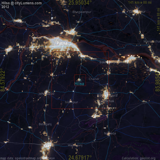
» Earth at Night: Flat Maps 2012, 2016