Bar Bigha night lights from space
Night Light of Bar Bigha (Bihar) from space (India) Src. Average luminocity for 10x10km area is 53.4206% and for 50x50km: 37.0569%.
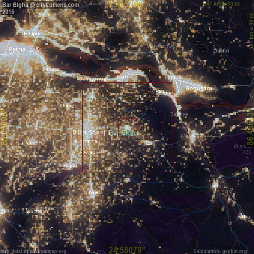
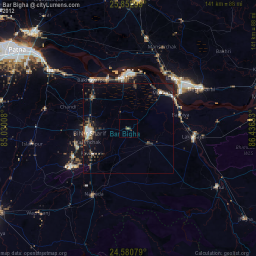
Analysis of Bar Bigha night lights 2016
Square area 10x10 km:
 3.77%
3.77%90-99
4.37%80-89
7.74%70-79
5.56%60-69
14.29%50-59
14.29%40-49
15.87%30-39
22.62%20-29
11.51%10-19
0%0-9
0%Square area 50x50 km:
3.68%90-99
4.63%80-89
3.75%70-79
4.9%60-69
6.12%50-59
7.82%40-49
8.96%30-39
10.49%20-29
14.55%10-19
14.83%0-9
20.26%Clear (daylight) street map image can be seen on geolist.org.
Map coordinates:
25° 51' 10.8" North, 85° 1' 48.3" East
25° 13' 6.8" North, 85° 43' 59.5" East
24° 34' 50.8" North, 86° 26' 10.8" East
Some cities around Bar Bigha sort by population:
• Bihār Sharīf
21.1 km =13.1 mi,  264°
264°
• Mokameh
27.4 km =17 mi,  43°
43°
• Bārh
29.5 km =18.3 mi,  355°
355°
• Sheikhpura
13.9 km =8.6 mi,  128°
128°
• Barhiya
29.9 km =18.6 mi,  75°
75°
• Wāris Alīganj
24.3 km =15.1 mi,  202°
202°
• Bakhtiyārpur
33.8 km =21 mi,  323°
323°
• Silao
34.2 km =21.3 mi,  243°
243°
1277038 (p: 41,758)
Sources (retrieved 2019-11-25):
» Earth at Night: Flat Maps 2012, 2016