Nawāda night lights from space
Night Light of Nawāda (Bihar) from space (India) Src. Average luminocity for 10x10km area is 63.8466% and for 50x50km: 32.4359%.
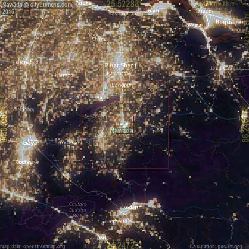
Analysis of Nawāda night lights 2016
Square area 10x10 km:
 10.04%
90-99
10.61%80-89
6.06%70-79
7.39%60-69
11.93%50-59
23.86%40-49
18.94%30-39
8.9%20-29
2.27%10-19
0%0-9
0%Square area 50x50 km:
1.95%90-99
3.29%80-89
2.96%70-79
4.04%60-69
5.74%50-59
7.76%40-49
10.18%30-39
10.56%20-29
11.03%10-19
17.5%0-9
24.98%Clear (daylight) street map image can be seen on geolist.org.
Map coordinates:
25° 31' 22.4" North, 84° 50' 25.9" East
24° 53' 12.1" North, 85° 32' 37.1" East
24° 14' 50" North, 86° 14' 48.4" East
Some cities around Nawāda sort by population:
• Bihār Sharīf
35 km =21.7 mi,  356°
356°
• Sheikhpura
41.1 km =25.5 mi,  46°
46°
• Bar Bigha
41.5 km =25.8 mi,  27°
27°
• Rājgīr
20 km =12.4 mi,  321°
321°
• Wāris Alīganj
17.5 km =10.9 mi, 33°
• Islāmpur
44.2 km =27.5 mi,  309°
309°
• Hisuā
14 km =8.7 mi,  245°
245°
• Silao
24.8 km =15.4 mi,  331°
331°
1261631 (p: 96,730)
Sources (retrieved 2019-11-25):
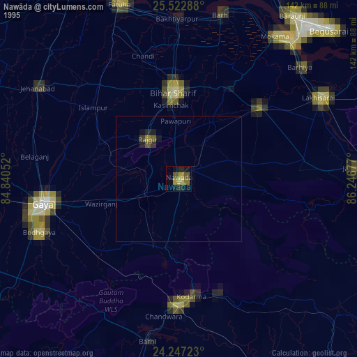
» NASA, Earths city lights 1995
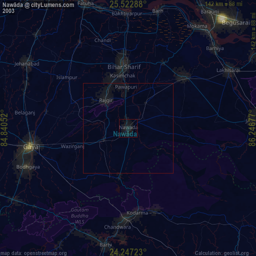
» NASA city lights 2003
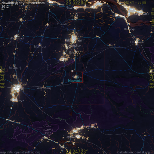
» Earth at Night: Flat Maps 2012, 2016