Sidhaulī night lights from space
Night Light of Sidhaulī (Uttar Pradesh) from space (India) Src. Average luminocity for 10x10km area is 17.0322% and for 50x50km: 6.3168%.
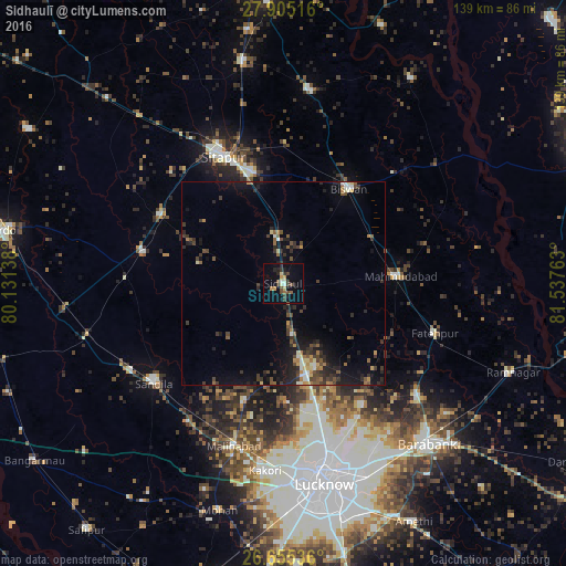
Analysis of Sidhaulī night lights 2016
Square area 10x10 km:
 0.76%
0.76%90-99
2.08%80-89
1.7%70-79
2.65%60-69
0.57%50-59
3.41%40-49
2.65%30-39
5.3%20-29
3.6%10-19
7.01%0-9
70.27%Square area 50x50 km:
0.27%90-99
0.7%80-89
0.46%70-79
0.61%60-69
0.8%50-59
0.96%40-49
1.3%30-39
1.83%20-29
2.29%10-19
4.96%0-9
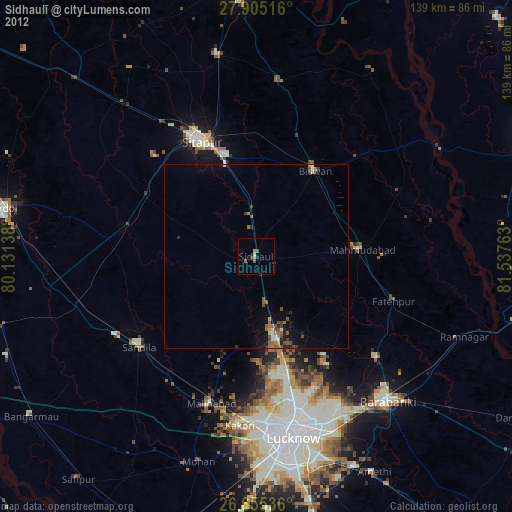
85.84%Clear (daylight) street map image can be seen on geolist.org.
Map coordinates:
27° 54' 18.6" North, 80° 7' 53" East
27° 16' 55.3" North, 80° 50' 4.2" East
26° 39' 19.3" North, 81° 32' 15.5" East
Some cities around Sidhaulī sort by population:
• Sītāpur
34.5 km =21.4 mi,  334°
334°
• Biswān
28.6 km =17.8 mi,  33°
33°
• Mahmudābād
28 km =17.4 mi,  87°
87°
• Khairābād
28.4 km =17.6 mi,  343°
343°
• Fatehpur
39.1 km =24.3 mi,  108°
108°
• Misrikh
34.2 km =21.3 mi,  299°
299°
• Benīganj
38.6 km =24 mi,  271°
271°
• Itaunja
22.9 km =14.2 mi,  164°
164°
1256372 (p: 22,193)
Sources (retrieved 2019-11-25):
» Earth at Night: Flat Maps 2012, 2016