Sangamner night lights from space
Night Light of Sangamner (Maharashtra) from space (India) Src. Average luminocity for 10x10km area is 73.5269% and for 50x50km: 22.0499%.
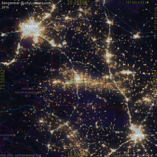
Analysis of Sangamner night lights 2016
Square area 10x10 km:
 1.24%
1.24%90-99
16.74%80-89
22.93%70-79
15.7%60-69
22.93%50-59
14.67%40-49
5.37%30-39
0.41%20-29
0%10-19
0%0-9
0%Square area 50x50 km:
0.05%90-99
1%80-89
2.02%70-79
3%60-69
4.92%50-59
6.05%40-49
6.51%30-39
6.98%20-29
7.96%10-19
12.79%0-9
48.72%Clear (daylight) street map image can be seen on geolist.org.
Map coordinates:
20° 13' 44.3" North, 73° 30' 30.3" East
19° 34' 4.2" North, 74° 12' 41.5" East
18° 54' 14.3" North, 74° 54' 52.8" East
Some cities around Sangamner sort by population:
• Kopargaon
44.6 km =27.7 mi,  38°
38°
• Deolāli
57.5 km =35.7 mi,  316°
316°
• Yeola
60.2 km =37.4 mi,  28°
28°
• Rāhuri
50 km =31.1 mi,  113°
113°
• Sinnar
38 km =23.6 mi, 324°
• Shirdi
35.5 km =22.1 mi,  51°
51°
• Junnar
53.3 km =33.1 mi,  221°
221°
• Ghoti Budrukh
63.3 km =39.3 mi,  285°
285°
1257436 (p: 67,309)
Sources (retrieved 2019-11-25):
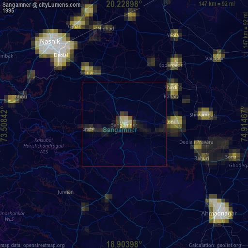
» NASA, Earths city lights 1995
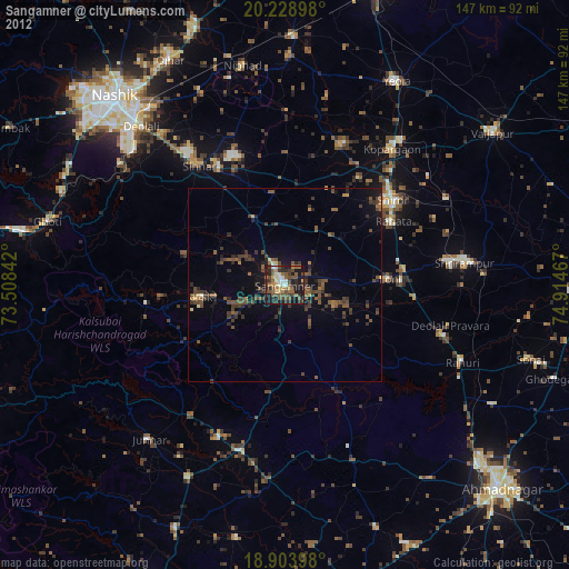
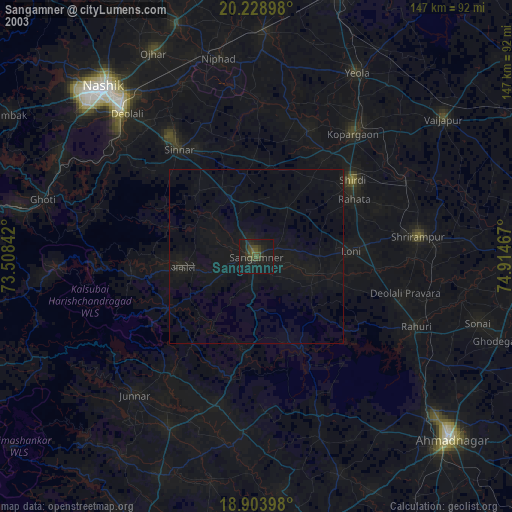
» NASA city lights 2003
» Earth at Night: Flat Maps 2012, 2016