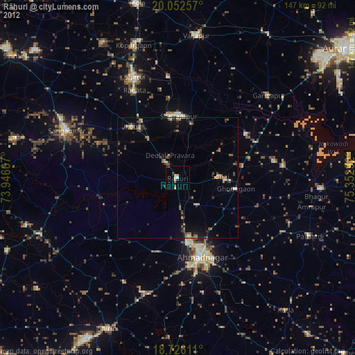
Rāhuri night lights from space
Night Light of Rāhuri (Maharashtra) from space (India) Src. Average luminocity for 10x10km area is 26.4959% and for 50x50km: 20.5409%.
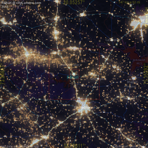
Analysis of Rāhuri night lights 2016
Square area 10x10 km:
 0%
0%90-99
3.31%80-89
3.31%70-79
3.51%60-69
3.93%50-59
5.58%40-49
3.31%30-39
5.79%20-29
3.93%10-19
50.21%0-9
17.15%Square area 50x50 km:
0.05%90-99
1.46%80-89
1.36%70-79
2.46%60-69
3.69%50-59
5.57%40-49
4.95%30-39
6.48%20-29
9.55%10-19
17.15%0-9
47.28%Clear (daylight) street map image can be seen on geolist.org.
Map coordinates:
20° 3' 9.3" North, 73° 56' 48" East
19° 23' 26.5" North, 74° 38' 59.2" East
18° 43' 34" North, 75° 21' 10.5" East
Some cities around Rāhuri sort by population:
• Ahmadnagar
34.2 km =21.3 mi,  164°
164°
• Sangamner
50 km =31.1 mi,  293°
293°
• Kopargaon
57.6 km =35.8 mi,  341°
341°
• Vaijāpur
60.2 km =37.4 mi,  7°
7°
• Shirdi
45.5 km =28.3 mi, 336°
• Ārangaon
41 km =25.5 mi,  170°
170°
• Gangāpur
50.9 km =31.6 mi,  47°
47°
• Pāthardi
60.1 km =37.3 mi,  113°
113°
1259019 (p: 36,885)
Sources (retrieved 2019-11-25):
» Earth at Night: Flat Maps 2012, 2016