Shimla night lights from space
Night Light of Shimla (Himachal Pradesh) from space (India) Src. Average luminocity for 10x10km area is 36.4505% and for 50x50km: 4.538%.
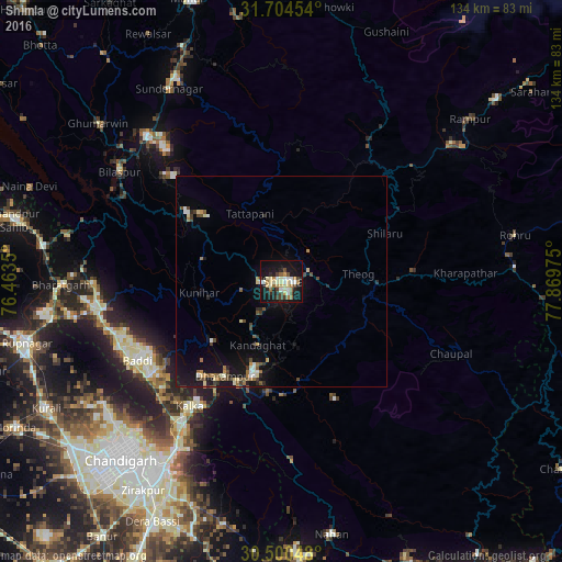
Analysis of Shimla night lights 2016
Square area 10x10 km:
 3.85%
3.85%90-99
6.78%80-89
8.42%70-79
2.38%60-69
5.86%50-59
2.01%40-49
6.59%30-39
2.38%20-29
8.42%10-19
41.58%0-9
11.72%Square area 50x50 km:
0.31%90-99
0.65%80-89
0.67%70-79
0.33%60-69
0.7%50-59
0.47%40-49
0.93%30-39
0.38%20-29
0.86%10-19
4.73%0-9
89.96%Clear (daylight) street map image can be seen on geolist.org.
Map coordinates:
31° 42' 16.3" North, 76° 27' 48.6" East
31° 6' 15.9" North, 77° 9' 59.8" East
30° 30' 1.7" North, 77° 52' 11.1" East
Some cities around Shimla sort by population:
• Solan
22.4 km =13.9 mi,  194°
194°
• Kālka
36.5 km =22.7 mi,  216°
216°
• Pinjaur
41.4 km =25.7 mi,  214°
214°
• Baddi
39.3 km =24.4 mi,  245°
245°
• Nālāgarh
42.8 km =26.6 mi,  260°
260°
• Parwanoo
35.6 km =22.1 mi, 213°
• Sabāthu
22 km =13.7 mi,  229°
229°
• Kasauli
29.8 km =18.5 mi, 219°
1256237 (p: 173,503)
Sources (retrieved 2019-11-25):
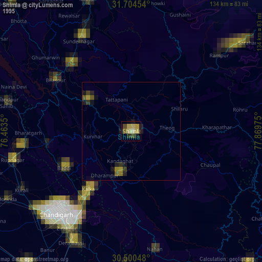
» NASA, Earths city lights 1995
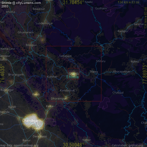
» NASA city lights 2003
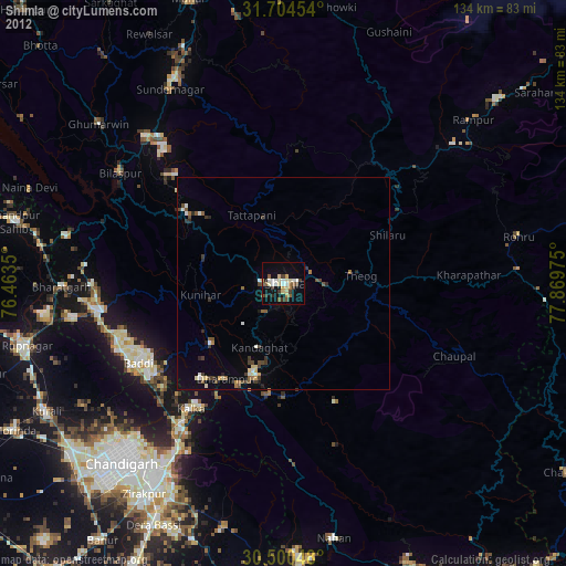
» Earth at Night: Flat Maps 2012, 2016