Baddi night lights from space
Night Light of Baddi (Himachal Pradesh) from space (India) Src. Average luminocity for 10x10km area is 67.7491% and for 50x50km: 27.0909%.
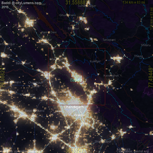
Analysis of Baddi night lights 2016
Square area 10x10 km:
 10.62%
90-99
22.53%80-89
23.44%70-79
3.48%60-69
3.48%50-59
3.11%40-49
5.49%30-39
5.68%20-29
14.65%10-19
7.51%0-9
0%Square area 50x50 km:
3%90-99
5.47%80-89
3.99%70-79
2.44%60-69
3.12%50-59
4.04%40-49
5.04%30-39
5.36%20-29
9.21%10-19
16.44%0-9
41.9%Clear (daylight) street map image can be seen on geolist.org.
Map coordinates:
31° 33' 32" North, 76° 5' 17.7" East
30° 57' 28.2" North, 76° 47' 28.9" East
30° 21' 10.7" North, 77° 29' 40.2" East
Some cities around Baddi sort by population:
• Chandigarh
24.6 km =15.3 mi,  180°
180°
• Ropar
25.2 km =15.7 mi,  272°
272°
• Kālka
19.4 km =12.1 mi,  132°
132°
• Pinjaur
21.4 km =13.3 mi,  145°
145°
• Nālāgarh
11.4 km =7.1 mi,  324°
324°
• Parwanoo
21.1 km =13.1 mi, 129°
• Sabāthu
19.2 km =11.9 mi,  84°
84°
• Kasauli
17.9 km =11.1 mi,  111°
111°
7279742 (p: 22,592)
Sources (retrieved 2019-11-25):
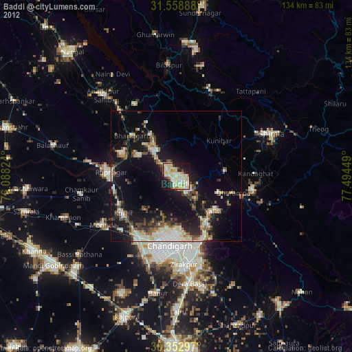
» Earth at Night: Flat Maps 2012, 2016