Pinjaur night lights from space
Night Light of Pinjaur (Haryana) from space (India) Src. Average luminocity for 10x10km area is 52.764% and for 50x50km: 35.2402%.
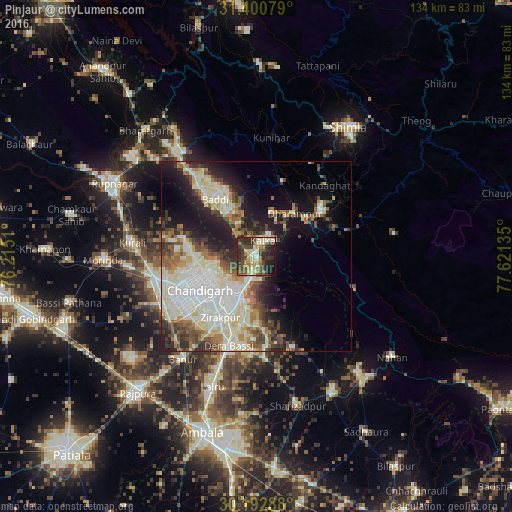
Analysis of Pinjaur night lights 2016
Square area 10x10 km:
 2.45%
2.45%90-99
10.84%80-89
11.54%70-79
7.17%60-69
6.99%50-59
8.04%40-49
12.59%30-39
14.69%20-29
16.08%10-19
9.27%0-9
0.35%Square area 50x50 km:
7.27%90-99
8.97%80-89
5.72%70-79
2.63%60-69
3.89%50-59
4.2%40-49
4.57%30-39
4.64%20-29
6.9%10-19
12.17%0-9
39.05%Clear (daylight) street map image can be seen on geolist.org.
Map coordinates:
31° 24' 2.8" North, 76° 12' 54.4" East
30° 47' 55.4" North, 76° 55' 5.6" East
30° 11' 34.4" North, 77° 37' 16.9" East
Some cities around Pinjaur sort by population:
• Chandigarh
14.2 km =8.8 mi,  240°
240°
• Panchkula
13.3 km =8.3 mi,  209°
209°
• Solan
21.9 km =13.6 mi,  55°
55°
• Kālka
5 km =3.1 mi,  25°
25°
• Baddi
21.4 km =13.3 mi,  325°
325°
• Parwanoo
5.9 km =3.7 mi,  43°
43°
• Sabāthu
20.8 km =12.9 mi,  19°
19°
• Kasauli
12 km =7.5 mi, 22°
1259630 (p: 32,162)
Sources (retrieved 2019-11-25):
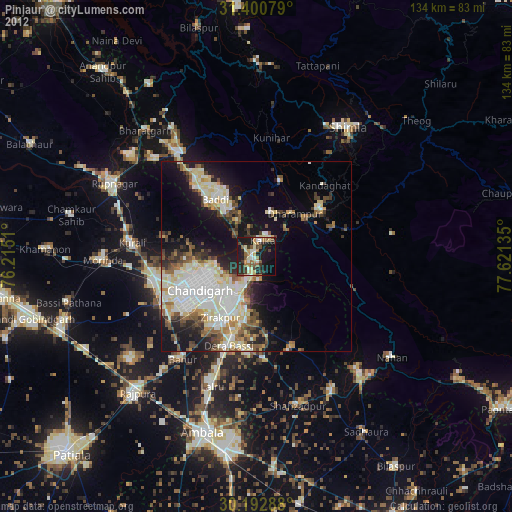
» Earth at Night: Flat Maps 2012, 2016