Shahdol night lights from space
Night Light of Shahdol (Madhya Pradesh) from space (India) Src. Average luminocity for 10x10km area is 43.3826% and for 50x50km: 8.1725%.
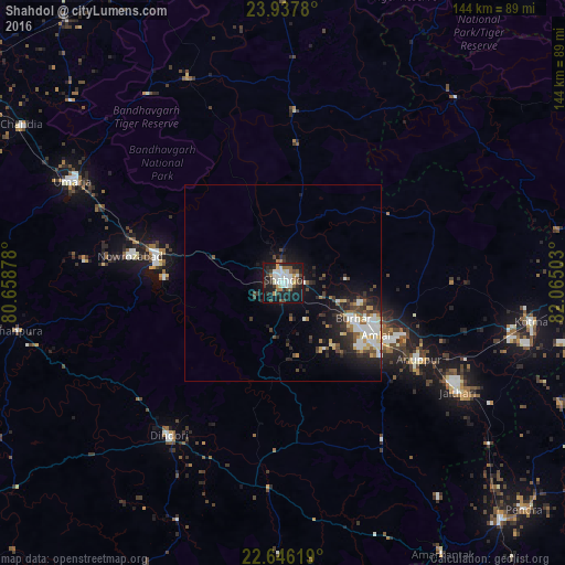
Analysis of Shahdol night lights 2016
Square area 10x10 km:
 9.85%
9.85%90-99
11.93%80-89
1.14%70-79
3.22%60-69
2.65%50-59
7.58%40-49
5.11%30-39
5.87%20-29
11.93%10-19
36.74%0-9
3.98%Square area 50x50 km:
1.36%90-99
1.67%80-89
0.63%70-79
0.81%60-69
0.56%50-59
1.07%40-49
1.11%30-39
1.53%20-29
2.46%10-19
6.14%0-9
82.65%Clear (daylight) street map image can be seen on geolist.org.
Map coordinates:
23° 56' 16.1" North, 80° 39' 31.6" East
23° 17' 36.8" North, 81° 21' 42.8" East
22° 38' 46.3" North, 82° 3' 54.1" East
Some cities around Shahdol sort by population:
• Umaria
59.4 km =36.9 mi,  295°
295°
• Pāli
33.4 km =20.8 mi,  283°
283°
• Dindori
48.6 km =30.2 mi,  216°
216°
• Burhar
19.5 km =12.1 mi,  116°
116°
• Anūppur
39.7 km =24.7 mi, 122°
• Bodri
16 km =9.9 mi,  153°
153°
• Shāhpur
47.3 km =29.4 mi,  230°
230°
• Jaisinghnagar
43.7 km =27.2 mi,  3°
3°
1256739 (p: 89,289)
Sources (retrieved 2019-11-25):
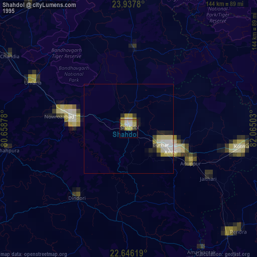
» NASA, Earths city lights 1995
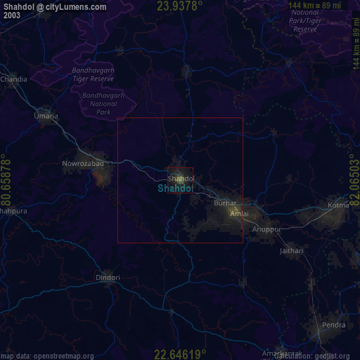
» NASA city lights 2003
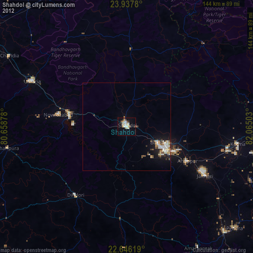
» Earth at Night: Flat Maps 2012, 2016