Pāli night lights from space
Night Light of Pāli (Madhya Pradesh) from space (India) Src. Average luminocity for 10x10km area is 29.6004% and for 50x50km: 4.0618%.
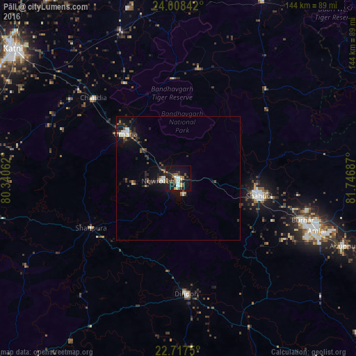
Analysis of Pāli night lights 2016
Square area 10x10 km:
 4.55%
4.55%90-99
4.17%80-89
3.03%70-79
2.65%60-69
5.49%50-59
2.84%40-49
4.17%30-39
3.03%20-29
6.82%10-19
39.39%0-9
23.86%Square area 50x50 km:
0.55%90-99
0.59%80-89
0.26%70-79
0.21%60-69
0.42%50-59
0.62%40-49
0.56%30-39
0.81%20-29
1.26%10-19
4.05%0-9
90.67%Clear (daylight) street map image can be seen on geolist.org.
Map coordinates:
24° 0' 30.3" North, 80° 20' 26.2" East
23° 21' 52.3" North, 81° 2' 37.5" East
22° 43' 3" North, 81° 44' 48.7" East
Some cities around Pāli sort by population:
• Shahdol
33.4 km =20.8 mi,  103°
103°
• Umaria
27.6 km =17.1 mi,  310°
310°
• Dindori
47.2 km =29.3 mi,  175°
175°
• Burhar
52.6 km =32.7 mi,  108°
108°
• Bodri
45.5 km =28.3 mi,  119°
119°
• Chandia
47.1 km =29.3 mi, 313°
• Shāhpur
38 km =23.6 mi,  186°
186°
• Jaisinghnagar
50.3 km =31.3 mi,  44°
44°
1260718 (p: 21,287)
Sources (retrieved 2019-11-25):
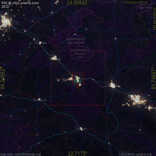
» Earth at Night: Flat Maps 2012, 2016