Sarkhej night lights from space
Night Light of Sarkhej (Gujarat) from space (India) Src. Average luminocity for 10x10km area is 89.5516% and for 50x50km: 51.1082%.
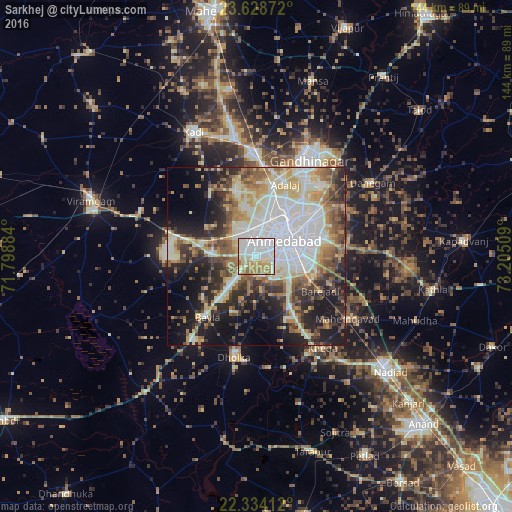
Analysis of Sarkhej night lights 2016
Square area 10x10 km:
 34.92%
90-99
30.75%80-89
10.32%70-79
10.32%60-69
11.51%50-59
2.18%40-49
0%30-39
0%20-29
0%10-19
0%0-9
0%Square area 50x50 km:
12.18%90-99
11.75%80-89
6.94%70-79
5.56%60-69
6.51%50-59
6.66%40-49
5.92%30-39
6.53%20-29
9.63%10-19
14.51%0-9
13.83%Clear (daylight) street map image can be seen on geolist.org.
Map coordinates:
23° 37' 43.4" North, 71° 47' 55.8" East
22° 58' 58.7" North, 72° 30' 7.1" East
22° 20' 2.8" North, 73° 12' 18.3" East
Some cities around Sarkhej sort by population:
• Ahmedabad
9.9 km =6.2 mi,  61°
61°
• Gandhinagar
31.9 km =19.8 mi,  35°
35°
• Dholka
29.1 km =18.1 mi,  192°
192°
• Sānand
12.3 km =7.6 mi,  274°
274°
• Mahemdāvād
31.4 km =19.5 mi,  124°
124°
• Kheda
31.8 km =19.8 mi,  143°
143°
• Adalaj
21.7 km =13.5 mi,  21°
21°
• Naroda
18.6 km =11.6 mi, 58°
1257149 (p: 30,341)
Sources (retrieved 2019-11-25):
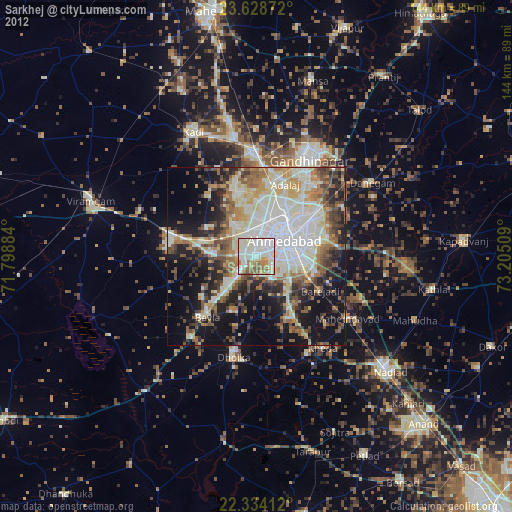
» Earth at Night: Flat Maps 2012, 2016