Mahemdāvād night lights from space
Night Light of Mahemdāvād (Gujarat) from space (India) Src. Average luminocity for 10x10km area is 31.0079% and for 50x50km: 33.9659%.
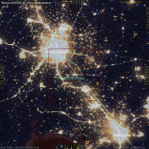
Analysis of Mahemdāvād night lights 2016
Square area 10x10 km:
 0%
0%90-99
1.79%80-89
2.18%70-79
2.78%60-69
3.17%50-59
7.34%40-49
12.5%30-39
9.33%20-29
18.65%10-19
41.87%0-9
0.4%Square area 50x50 km:
6.16%90-99
4.45%80-89
2.86%70-79
3.05%60-69
4.98%50-59
7.06%40-49
6.82%30-39
6.9%20-29
10%10-19
21.88%0-9
25.85%Clear (daylight) street map image can be seen on geolist.org.
Map coordinates:
23° 28' 12.4" North, 72° 3' 8.6" East
22° 49' 24.9" North, 72° 45' 19.8" East
22° 10' 26.4" North, 73° 27' 31.1" East
Some cities around Mahemdāvād sort by population:
• Ahmedabad
28.3 km =17.6 mi,  322°
322°
• Nadiād
18.1 km =11.2 mi,  142°
142°
• Chaklāsi
27.1 km =16.8 mi,  134°
134°
• Sarkhej
31.4 km =19.5 mi,  304°
304°
• Kheda
10.7 km =6.6 mi,  222°
222°
• Mahudha
18.9 km =11.7 mi,  90°
90°
• Vasa
18.1 km =11.2 mi,  180°
180°
• Naroda
29.2 km =18.1 mi,  339°
339°
1264398 (p: 32,504)
Sources (retrieved 2019-11-25):
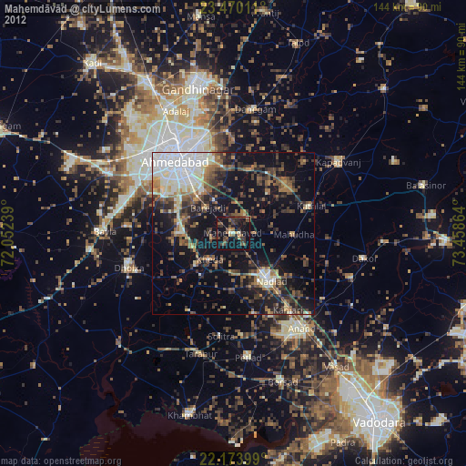
» Earth at Night: Flat Maps 2012, 2016