Dholka night lights from space
Night Light of Dholka (Gujarat) from space (India) Src. Average luminocity for 10x10km area is 24.369% and for 50x50km: 18.153%.
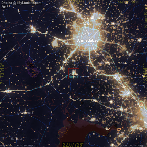
Analysis of Dholka night lights 2016
Square area 10x10 km:
 0.4%
0.4%90-99
3.57%80-89
4.76%70-79
5.56%60-69
2.78%50-59
2.98%40-49
2.78%30-39
2.98%20-29
1.39%10-19
28.37%0-9
44.44%Square area 50x50 km:
0.59%90-99
2.48%80-89
2.39%70-79
2.4%60-69
2.58%50-59
3.79%40-49
3.44%30-39
4.55%20-29
5.81%10-19
12.23%0-9
59.76%Clear (daylight) street map image can be seen on geolist.org.
Map coordinates:
23° 22' 27.5" North, 71° 44' 17.4" East
22° 43' 38.4" North, 72° 26' 28.6" East
22° 4' 38.1" North, 73° 8' 39.9" East
Some cities around Dholka sort by population:
• Ahmedabad
36.4 km =22.6 mi,  24°
24°
• Nadiād
43.3 km =26.9 mi,  94°
94°
• Sānand
30.1 km =18.7 mi,  348°
348°
• Mahemdāvād
33.9 km =21.1 mi,  71°
71°
• Sarkhej
29.1 km =18.1 mi,  12°
12°
• Kheda
25.2 km =15.7 mi,  83°
83°
• Sojītra
35.4 km =22 mi,  126°
126°
• Vasa
33 km =20.5 mi,  102°
102°
1272733 (p: 54,977)
Sources (retrieved 2019-11-25):
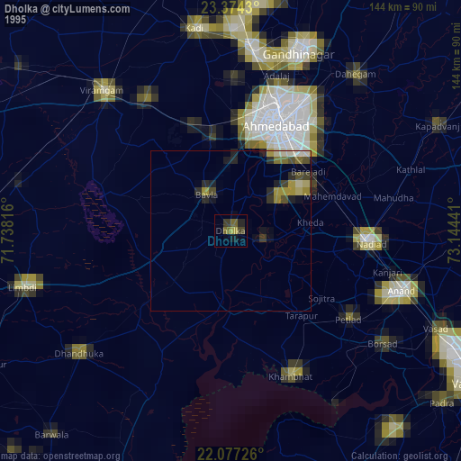
» NASA, Earths city lights 1995
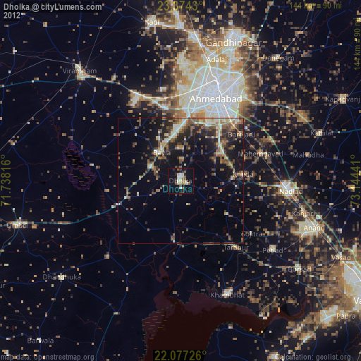
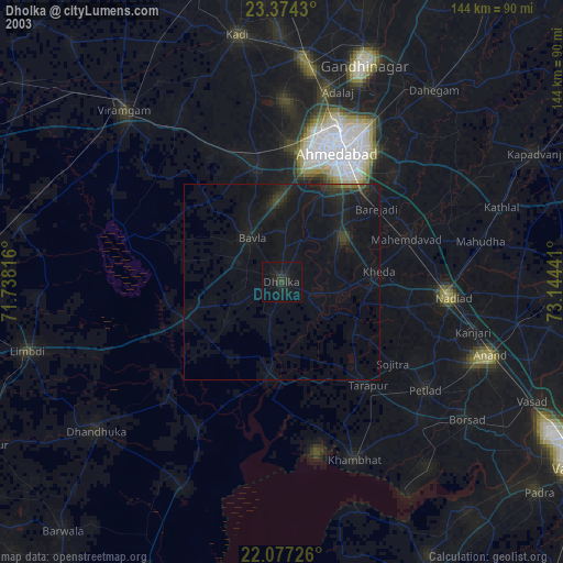
» NASA city lights 2003
» Earth at Night: Flat Maps 2012, 2016