Sakīt night lights from space
Night Light of Sakīt (Uttar Pradesh) from space (India) Src. Average luminocity for 10x10km area is 0.9034% and for 50x50km: 8.3491%.
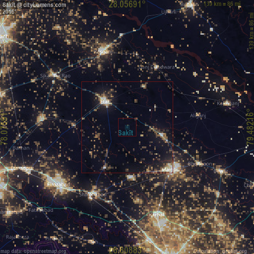
Analysis of Sakīt night lights 2016
Square area 10x10 km:
 0%
0%90-99
0%80-89
0%70-79
0%60-69
0%50-59
0%40-49
0%30-39
0.76%20-29
1.52%10-19
0.76%0-9
96.97%Square area 50x50 km:
0.37%90-99
0.96%80-89
0.65%70-79
0.51%60-69
0.88%50-59
1.34%40-49
2.52%30-39
2.44%20-29
3.03%10-19
6.18%0-9
81.12%Clear (daylight) street map image can be seen on geolist.org.
Map coordinates:
28° 3' 24.9" North, 78° 4' 33.3" East
27° 26' 4.7" North, 78° 46' 44.5" East
26° 48' 31.8" North, 79° 28' 55.8" East
Some cities around Sakīt sort by population:
• Mainpuri
33.7 km =20.9 mi,  132°
132°
• Ganj Dundwāra
36.8 km =22.9 mi,  25°
25°
• Sidhpura
23.8 km =14.8 mi,  21°
21°
• Ghiror
27.3 km =17 mi,  177°
177°
• Patiāli
35.8 km =22.2 mi,  37°
37°
• Amānpur
31.1 km =19.3 mi,  352°
352°
• Jasrāna
25.4 km =15.8 mi,  209°
209°
• Pharihā
32.8 km =20.4 mi,  247°
247°
1257703 (p: 7,811)
Sources (retrieved 2019-11-25):
» Earth at Night: Flat Maps 2012, 2016