Sagauli night lights from space
Night Light of Sagauli (Bihar) from space (India) Src. Average luminocity for 10x10km area is 35.4306% and for 50x50km: 13.8126%.
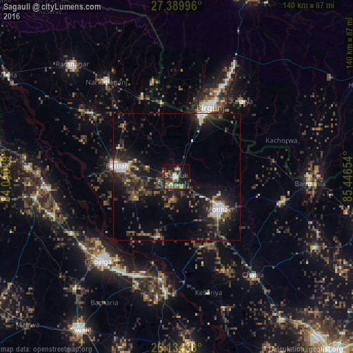
Analysis of Sagauli night lights 2016
Square area 10x10 km:
 2.18%
2.18%90-99
3.97%80-89
4.17%70-79
4.76%60-69
7.14%50-59
7.74%40-49
9.13%30-39
8.13%20-29
10.12%10-19
25.79%0-9
16.87%Square area 50x50 km:
1.5%90-99
1.49%80-89
0.52%70-79
0.93%60-69
1.52%50-59
2.3%40-49
3.15%30-39
3.84%20-29
6.99%10-19
12.46%0-9
65.31%Clear (daylight) street map image can be seen on geolist.org.
Map coordinates:
27° 23' 23.9" North, 84° 2' 25" East
26° 45' 50" North, 84° 44' 36.3" East
26° 8' 3.8" North, 85° 26' 47.5" East
Some cities around Sagauli sort by population:
• Birgañj, NP
31.3 km =19.4 mi,  25°
25°
• Bettiah
24.2 km =15 mi,  280°
280°
• Mothīhāri
21.4 km =13.3 mi,  126°
126°
• Gopālganj
44.7 km =27.8 mi,  222°
222°
• Raxaul
26.3 km =16.3 mi,  23°
23°
• Barauli
45.3 km =28.1 mi,  200°
200°
• Dhāka
43.2 km =26.8 mi,  103°
103°
• Chākia
49 km =30.4 mi,  142°
142°
1257830 (p: 34,622)
Sources (retrieved 2019-11-25):
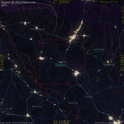
» Earth at Night: Flat Maps 2012, 2016