Raxaul night lights from space
Night Light of Raxaul (Bihar) from space (India) Src. Average luminocity for 10x10km area is 45.002% and for 50x50km: 9.2127%.
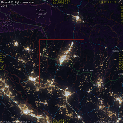
Analysis of Raxaul night lights 2016
Square area 10x10 km:
 11.9%
11.9%90-99
14.29%80-89
2.58%70-79
1.98%60-69
0.99%50-59
1.98%40-49
5.95%30-39
10.32%20-29
12.3%10-19
29.76%0-9
7.94%Square area 50x50 km:
1.04%90-99
1.34%80-89
0.71%70-79
0.54%60-69
0.79%50-59
1.33%40-49
1.71%30-39
2.47%20-29
3.9%10-19
7.91%0-9
78.26%Clear (daylight) street map image can be seen on geolist.org.
Map coordinates:
27° 36' 16.8" North, 84° 8' 51.1" East
26° 58' 47.4" North, 84° 51' 2.3" East
26° 21' 5.3" North, 85° 33' 13.6" East
Some cities around Raxaul sort by population:
• Birgañj, NP
5.1 km =3.2 mi,  35°
35°
• Bettiah
39.7 km =24.7 mi,  240°
240°
• Mothīhāri
37.4 km =23.2 mi,  169°
169°
• Hetauda, NP
53 km =32.9 mi,  19°
19°
• Bairāgnia
49.6 km =30.8 mi,  122°
122°
• Dhāka
46.2 km =28.7 mi,  137°
137°
• Sagauli
26.3 km =16.3 mi,  203°
203°
• Gaur, NP
48.7 km =30.3 mi, 119°
1258294 (p: 47,965)
Sources (retrieved 2019-11-25):
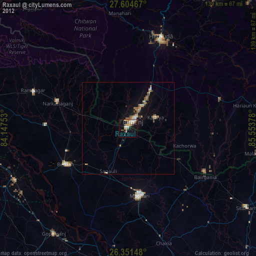
» Earth at Night: Flat Maps 2012, 2016